Project
Future Land Use Maps for Comprehensive Plan - Guiding Augusta: Pathways to 2045
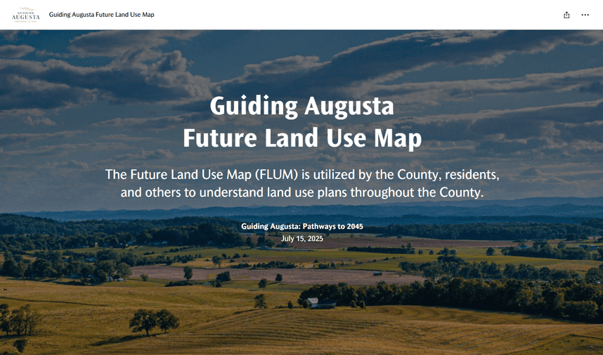
The Future Land Use Map (FLUM) is utilized by the County, residents, and others to understand land use plans throughout the County.
Comprehensive Plan & Economic Development Strategic Plan
View the proposed Future Land Use Map that is part of Guiding Augusta: Pathways to 2045.
Stay Informed
Get notified on upcoming engagements and the latest project related news.
Contact Us
Email comdev@co.augusta.va.us