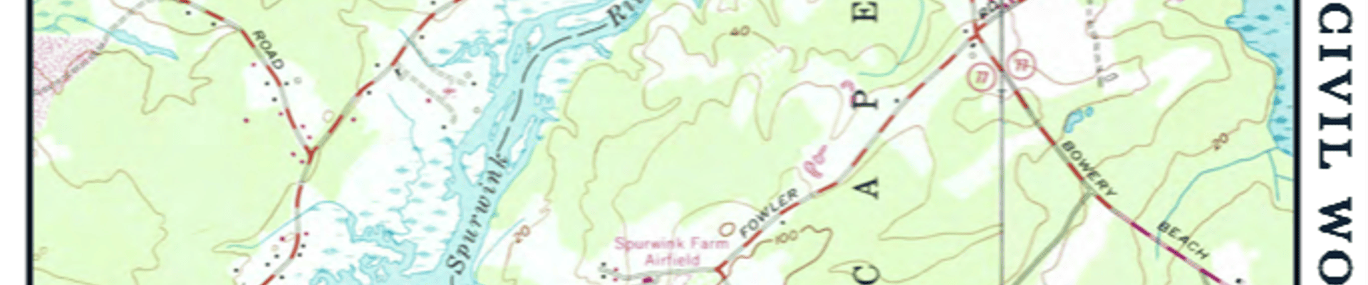
If you have noticed a flurry of activity on Sawyer Street/Road, it could be the collection of baseline environmental data by the US Fish and Wildlife Service (USFWS), Gulf of Maine Research Institute, and the Wells National Estuarine Research Reserve (WNERR).
Many hands are involved in collecting a range of data. Under the auspices of USFWS, the University of New Hampshire is assembling a master database, and 3 points in the Spurwink Marsh have been added to that program. Inclusion in the master database allows for data collection at below-market rates.
USFWS has done over 70 days of monitoring for salt marsh sparrow nests and has observed the success of fledglings. Mortality has also occurred, mostly due to tides and predators. The baseline report will be prepared this fall.
Marsh surface elevation monitoring has also been done upstream and downstream of Sawyer Street/Road. This will be useful in guiding the restoration of the roadbed located in the marsh following road removal.
The Gulf of Maine Institute and WNERR have been monitoring water levels and looking for surface level alterations, often due to historic agricultural activities.
Stay Informed
Get notified on upcoming engagements and the latest project related news.