
Canoa Hills Trails Planning Site
Welcome to the Canoa Hills Tralis Park Improvements Planning Project:
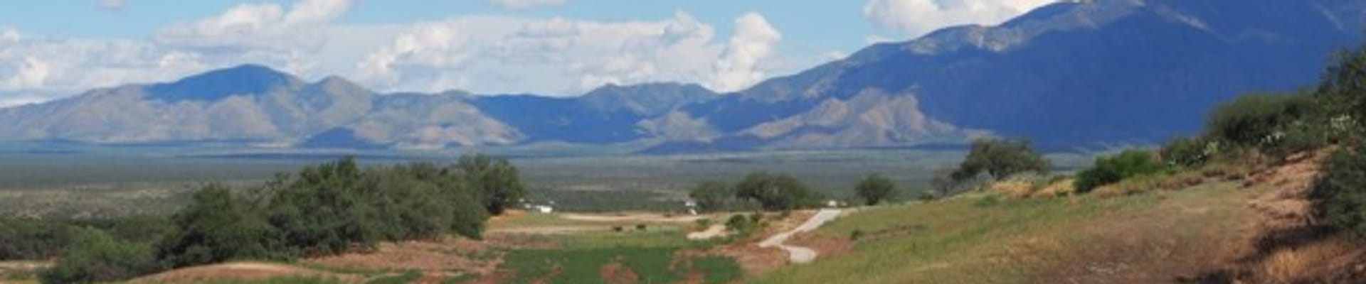
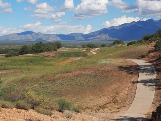
The Canoa Hills Trails Park is a 130-acre County park that features paved and accessible urban walking paths meandering through residential neighborhoods in Green Valley.
See Canoa Hills Trails Park webpage for day to day park use info.
Previously a golf course, the Canoa Hills Trails Park is in need of significant restoration efforts to restore natural floodplain function and enhance wildlife habitat. Open to the public for passive recreation, the park has also become a beloved community asset. As a long-term plan is developed for the stewardship of the park, Pima County Regional Flood Control District (RFCD) is inviting community input to help guide the plan and identify desired improvements for the site and amenities that enhance passive recreation opportunities.
We hope you will join us in developing a sustainable and enjoyable plan for the Canoa Hills Trails Park!
Sign up for Updates
Sign up for updates on long term planning and collaborative stewardship activities from the Regional Flood Control District who is managing the Land Stewardship improvements process. In addition to this project email list, the Green Valley Council and Friends of Canoa Parks will help to distribute planning updates and provide critical feedback.
The Story of Canoa Hills Trails Park
Opened in 1984, the Canoa Hills Golf Course was costly to build and maintain. This eventually led to its closure in 2013 and offer for sale. The area, nested within an urban area, is located within the floodplain. Its susceptibility to flood hazards made it a perfect candidate to be purchased and restored to natural floodplain function by RFCD. In 2018, that was finalized through the Floodprone Land Acquisition Program. The park was renamed to the Canoa Hills Trails Park, and RFCD began restoration and maintenance activities. Flood Control investments have included plant materials, labor, design, and planning, and will also cover future capital improvements.
In alignment with restoration priorities and responsible management of floodprone land, RFCD now endeavors to establish a long term plan for the park and community that combines guiding management principles with community priorities including regular use, addressing safety and maintenance concerns, and future desires for the park.
About the Park and Plan Process
Timeline
Interviews with Managers and Community Leaders to Kick off Master Plan
Explore Options and Uses
Community Engagement Event
Feedback Analysis and Proposal Refinement
Final Draft and Plan Review
Plan Implementation with Community-Informed Stewardship
Canoa Hills Trails Park
Community Input
Your feedback will guide the outcome of this planning process. In the interest of considering community input throughout the lifespan of the park, feedback catalogued from previous outreach efforts, regular maintenance requests, and the input of community partners will help guide initial drafts of the plan. We hope you will stay involved and contribute your perspective and ideas as the plan continues to evolve. Outreach opportunities will be announced via our project email list, updates to the project page, and dissemination through community partners.
Contact Us
For more information about the long term planning effort for Canoa Hills Trails, please contact Pima County Regional Flood Control District.