
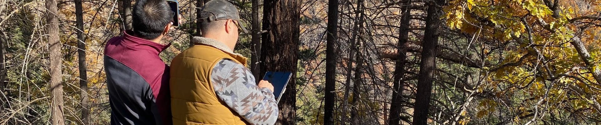
Rapid Assessment Tool for Forested Landowners
Forested landscapes in South Wasco County are a vital part of our community's environmental health, economic resilience, and natural beauty. To help landowners manage their properties more effectively and reduce wildfire risk, a collaborative effort between Oregon State University, the Oregon Department of Forestry, and Grant County Soil and Water Conservation District has developed a new decision-making tool. Using GIS technology paired with a thoughtful in-person assessment process, this tool delivers landowners a detailed, no-cost report on the vegetation, forest health, and fire fuel load specific to their property, empowering them to take proactive steps toward stewardship and safety.
This initiative is designed not only to support landowners with actionable data but to enhance collaboration between local residents and our broader network of conservation and resource agencies, like the Natural Resources Conservation Service. By integrating community input and participation into this process, we aim to prioritize equitable decision-making and ensure resources are allocated where they can make the greatest impact. Your engagement matters, as your insights will help shape efforts to protect the landscapes and livelihoods that make South Wasco County such a special place to call home.
To schedule your free assessment, call the Oregon Department of Forestry at 541-296-4626.
Stay Informed
Get notified on upcoming engagements and the latest project related news.