
South Mimms: Settlement overview and required infrastructure
An overview of the settlement of South Mimms, and the infrastructure required to support growth
Hertsmere Local Plan: Public Consultation
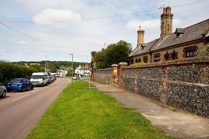
South Mimms village lies within farmland between the A1(M) and M25 to the west of Potters Bar, close to the junction of the two motorways and the South Mimms Motorway Service Area.
The historic centre of the village is a designated conservation area. It includes the linear development extending along Blanche Lane from the thirteenth century Church of St Giles to the small village green and westwards up to the M25 motorway. Despite the proximity of the motorways, the village retains its essentially rural character. This character is however somewhat impacted by the volume of traffic using local roads – including the B556 which runs across the northern part of the village – to gain access to and from the strategic road network at South Mimms and London Colney. The B556 provides South Mimms residents with road links to services and facilities in Potters Bar and London Colney.
South Mimms is primarily residential in character and has limited facilities; these comprise a small primary school and one pub (The White Hart having closed). Residents mainly look to larger nearby settlements, including Potters Bar, for the majority of day-to-day requirements. In recent years the village has seen little new development.
The proposed Bowmans Cross new settlement will impact traffic patterns and interventions needed in South Mimms, but also provide opportunities to enhance connectivity within and to and from the village. This may include measures associated with delivering bus priority services connecting the new settlement with Borehamwood and Potters Bar via South Mimms.
Key issues and challenges
• Protecting the setting and character of the historic core of the village
• Proximity to major strategic road network and motorway service area
• Limited facilities with residents currently required to travel for a large proportion of services – including lack of a convenience store within the village
• Limited current size of primary school with only 0.5 forms of entry limits quantum of development that can be supported without expansion of school capacity
• Severance caused by B556 running through the village
• Need to enhance availability of sustainable transport options within and to/from village
• Addressing speed limits, parking and HGV movements
South Mimms statistics
• Population: 709
• Built-up area: 0.3 sq miles / 0.7 sq km
• Population density: 2,784 people per sq mile / 1,075 people per sq km
• Population change between 2011 Census and 2021 Census: +0.17%
• New homes built in current Local Plan period (2012-27): 20
• Proposed new homes: 85
• Proposed Green Belt area: 1.82 hectares
• Change to number of new homes proposed in 2021: -62%
• Change to area of Green Belt proposed in 2021: -91%
Required infrastructure
The Hertsmere Infrastructure Delivery Plan (IDP) Phase 1 report and IDP Phase 2 report previously identified the following infrastructure upgrades needed. Infrastructure requirements for the Local Plan will continue to be reviewed before the plan is submitted for independent examination.
• Primary education - expansion of existing St Giles Primary School from 0.5fe to 1fe to serve growth within the village
• Highways - highway connections and mitigation related to any site allocated. Wider changes to speed limits, parking and access and to potentially restrict HGV movements.
• **Bus –**increase attractiveness of public transport as preferred mode of transport within and beyond Potters Bar
• Electricity, Gas, Water supply, sewerage, digital infrastructure – network connections
• Green infrastructure – There are broad deficits in various types of green infrastructure provision across South Mimms, which the Local Plan will need to help address. Contribute to provision of network of new publicly accessible natural green spaces around the borough.
• **Fire and rescue –**The South Mimms area was previously indicated as a preferred location for any relocated or consolidated fire station within Hertsmere, given its easy access to the M25 and A1(M).
• Social and care services - allocation of specialist needs housing
• Sports provision – contribution towards pooled borough-wide provision of new facilities.
Further information Further information can be found in the South West Hertfordshire Joint Strategic Plan, Strategic Infrastructure Baseline Study 2023.
Give us your views on proposed development sites in South Mimms
Stay Informed
Get notified on upcoming engagements and the latest project related news.