
Potters Bar: Settlement overview and required infrastructure
An overview of the settlement of Potters Bar, and the infrastructure required to support growth
Hertsmere Local Plan: Public Consultation
Potters Bar is the third largest town in Hertsmere and the key urban settlement in the east of the borough with a number of major employers, two distinct town centres and thriving industrial areas.
Following the arrival of the Great Northern railway in 1850, the town expanded quickly in the latter half of the 19th century and more notably during the inter-war period in the 20th century. There are two Conservation Areas, west of Darkes Lane and east of Baker Street, the former dominated by older detached properties and the latter by a series of different inter-war bungalow types.
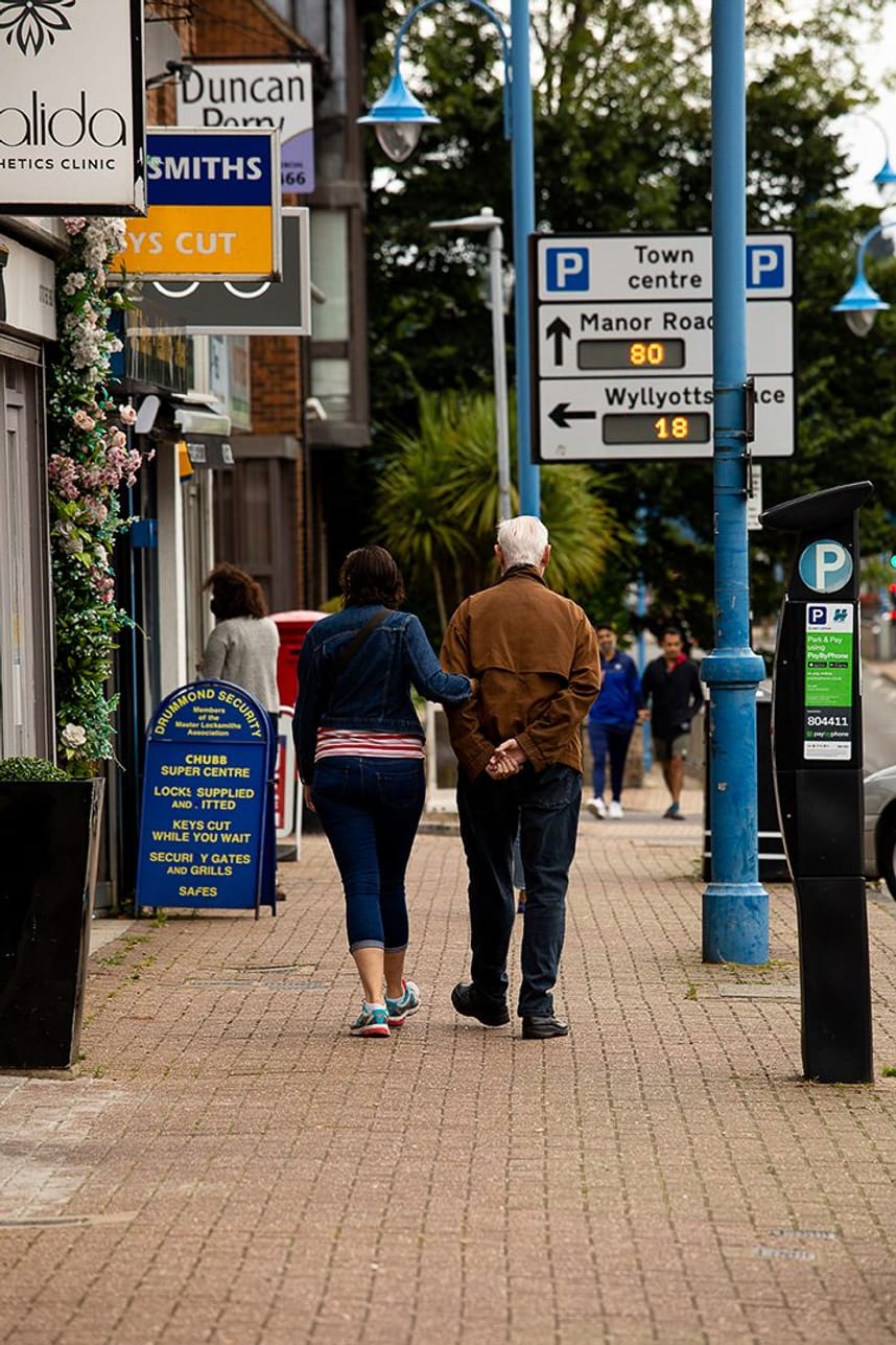
The development of two distinct shopping areas have arisen with the original High Street, on the historic Great North Road, joined by a retail centre on Darkes Lane following the arrival of the railway in the town. The prominent 12-storey Canada Life building dominates the skyline and is visible from well beyond the town. The two town centres contain few large stores/ national multiples and have developed in the traditional way along the main town centre streets, with an absence of purpose-built shopping areas/parks.
There is also an older population in Potters Bar compared to the other main settlements, with a higher proportion of over 65 and a lower proportion of under 18s. The town has seen considerably less development over the past two decades than other urban areas in the borough.
The town has direct access onto the M25 via Junction 24 which runs close to the southern extent of the built-up area. The A1000 or Great North Road which is also Potters Bar High Street, links with High Barnet to the south and Hatfeld to the north. Together with Mutton Lane and Darkes Lane, these main roads running through Potters Bar are busy thoroughfares which have helped shape the town but have created traffic pinch-points and also caused severance for pedestrians seeking to cross the town.
Potters Bar has the only station in Hertsmere on the East Coast Mainline, with regular services into London Kings Cross as well recently being added to the Thamelink Network. Frequent bus services also run to the south towards London with regular services to underground stations, such as Cockfosters and High Barnet.
However, there is little east- west public transport, with the rail running north to south and infrequent bus services to the rest of Hertsmere to the west, including Borehamwood. From a sustainable transport perspective, the close proximity of such major roads, particularly the location of both the M25 and A1, can cause further east-west separation challenges between Potters Bar and the remainder of the borough.
National Cycle Network Route 12 runs through the east of the borough adjacent to Potters Bar, providing direct access to Enfield to the south and Stevenage to the north. Opportunities to link new cycleways from the town centre to the national cycle route are currently being explored.
Key Issues and Challenges
• Increasing the supply of new homes within Potters Bar with historic under-delivery of new housing increasing the likelihood of younger people being priced out of the area
• Focusing new development in the most sustainable locations, including the former Potters Bar golf course, with strong links to the town centre and railway station to the south, and the Canada Life site on Potters Bar High Street.
• Improvements to the public realm and the daytime/evening economy in both town centres
• An improved environment around the bus garage
• More play areas and facilities for younger people.
• Reducing congestion including that caused by the diversion of traffic from the M25
• Protecting existing employment areas and supporting appropriately located new employment opportunities
Potters Bar statistics
• Population: 23,398
• Built-up area: 2.4 sq miles / 6.1 sq km
• Population density: 9,859 people per sq mile / 3,806 people per sq km
• Population change between 2011 Census and 2021 Census: +0.32%
• New homes built in current Local Plan period (2012-27): 502
• Proposed new homes: 1,070
• Proposed Green Belt area: 26.98 hectares
• Change to number of new homes proposed in 2021: -54%
• Change to area of Green Belt proposed in 2021: -71%
Required infrastructure:
The Hertsmere Infrastructure Delivery Plan (IDP) Phase 1 report and IDP Phase 2 report previously identified the following infrastructure upgrades needed. Infrastructure requirements for the Local Plan will continue to be reviewed before the plan is submitted for independent examination.
• Bus – The South Central Growth and Transport Plan includes a package of measures to improve the provision and attractiveness of bus services within and to Potters Bar
• Active travel – The South Central Growth and Transport Plan includes a package of measures to improve the provision for cyclists and pedestrians. This will include improving the attractiveness of cycling links north into Welwyn Hatfield and south to North London
• Education – Primary education provision within Potters Bar is already constrained, and HCC has previously indicated a need for temporary arrangements to address existing under capacity. The level of housing growth potentially anticipated in Potters Bar would likely necessitate a 3FE and a 2FE Primary School. There is no requirement for further secondary provision although the education authority has previously indicated that higher levels of development, in excess of 2,000 homes, would require the delivery of a new secondary school. A new SEND school is proposed to be developed to the south of Potters Bar as part fo the allocation HEL318.
• Primary healthcare – The NHS (through the local Integrated Care Board) has previously indicated there is no need for a new general practice surgery.
• Green infrastructure – There is an identified deficit indicated for open space in terms of formal parks/gardens in Potters Bar. Further to this, a provision of informal natural greenspace is identified, with a specific opportunity around and along Potters Bar brook in the north of Potters Bar
Further information Further information can be found in the South West Hertfordshire Joint Strategic Plan, Strategic Infrastructure Baseline Study 2023.
Give us your views on proposed development sites in Potters Bar
Stay Informed
Get notified on upcoming engagements and the latest project related news.