Bayview Trail Phase I
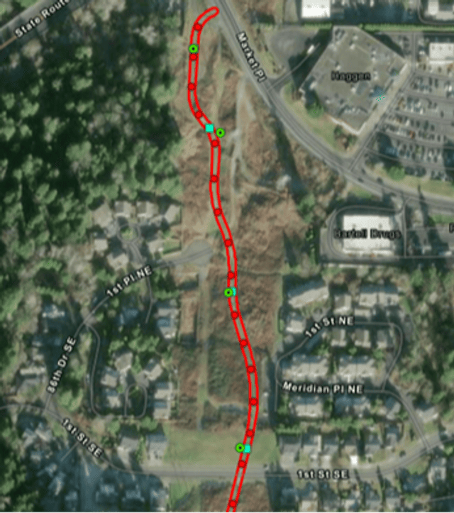
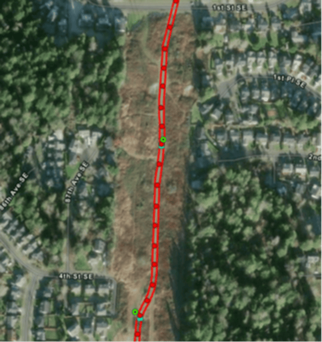
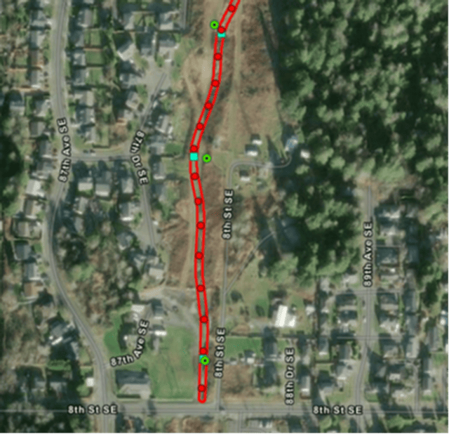
The geotechnical test pits were successfully completed on May 5, marking an important milestone in our project. Moving forward, the next phase will involve conducting shovel probes as part of the cultural resources survey work. This is scheduled to take place during the week of June 8. Ongoing site work will continue, and the website is the best place to find this information.
For this survey, the shovel probes will be spaced 25 to 30 meters apart and will typically reach a depth of 1 meter and a width of 40 centimeters. However, depending on site conditions, the archaeologist may need to dig as deep as 2 meters to ensure a thorough assessment. A map is attached indicating the locations planned for these probes. Please note that all shovel probes will be placed solely on pervious surfaces, avoiding any paved areas to minimize disruption.
Stay Informed
Stay in the loop with all the latest updates on upcoming engagements and project news by signing up for notifications.