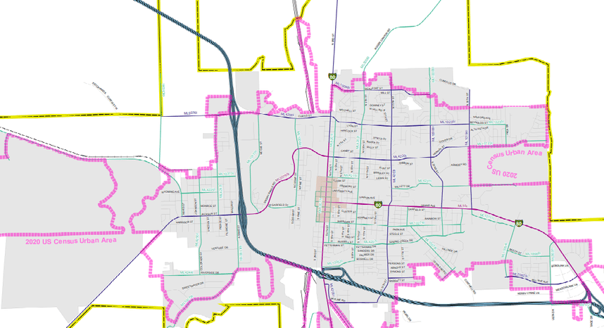
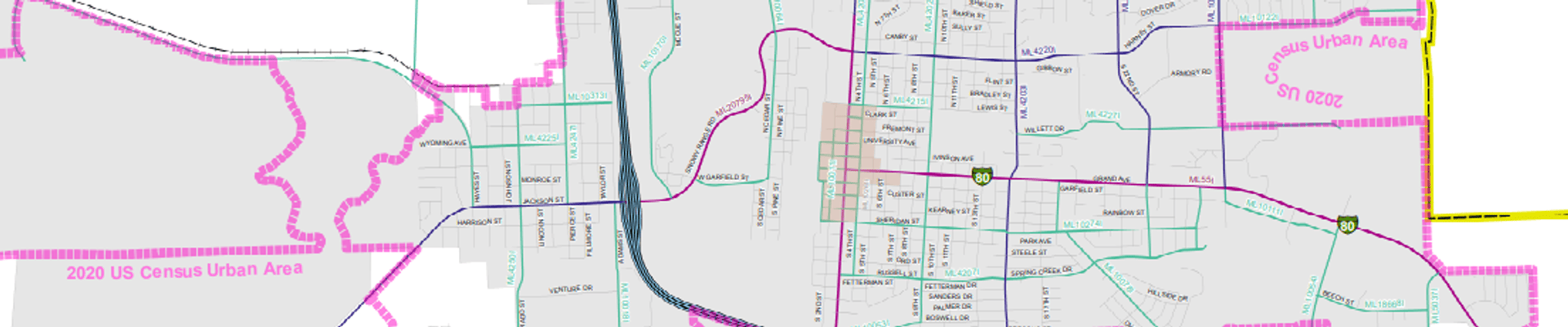
Functional Classification Map [Published 2025]
Functional Classification (Roads) Map [Published 2025]
This is the WYDOT Functional Classification Map for Laramie, which identifies roadways by their transportation function, including interstates, principal and minor arterials, collectors, and local roads. The map helps guide transportation planning, roadway design, funding, and future infrastructure improvements in the Laramie area. Click the PDF link below to explore or print the published document.