
The Leeds Flood Alleviation Scheme (FAS)
Why did we build the Leeds FAS?
Leeds needed stronger protection from extreme flooding, especially after the devastation caused by Storm Eva in 2015, which led to millions of pounds in damages and recovery costs.
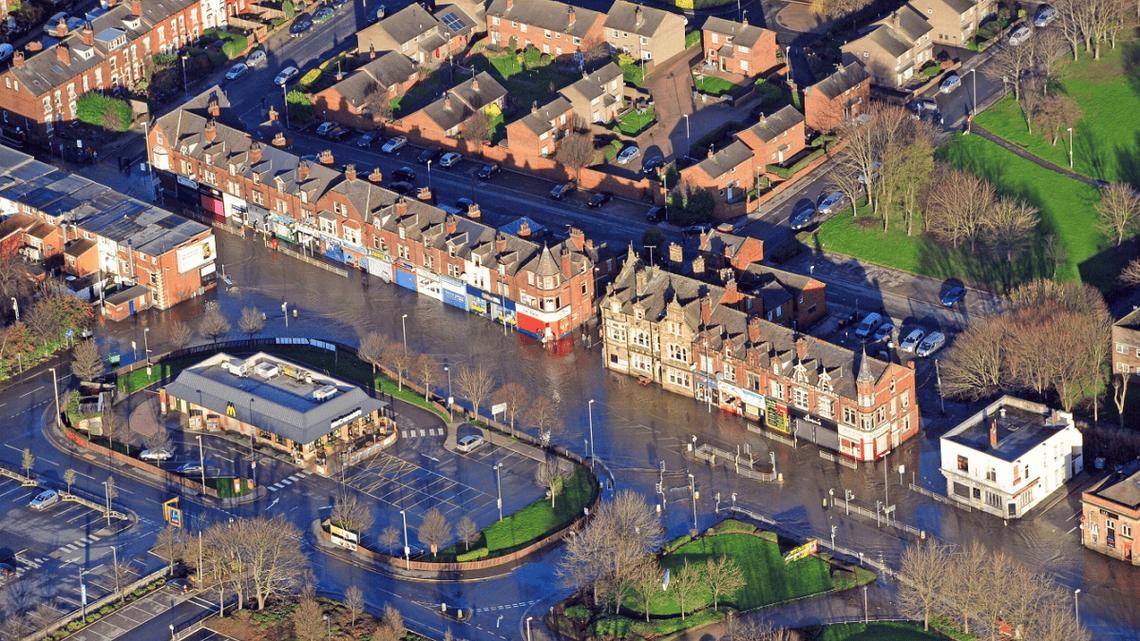

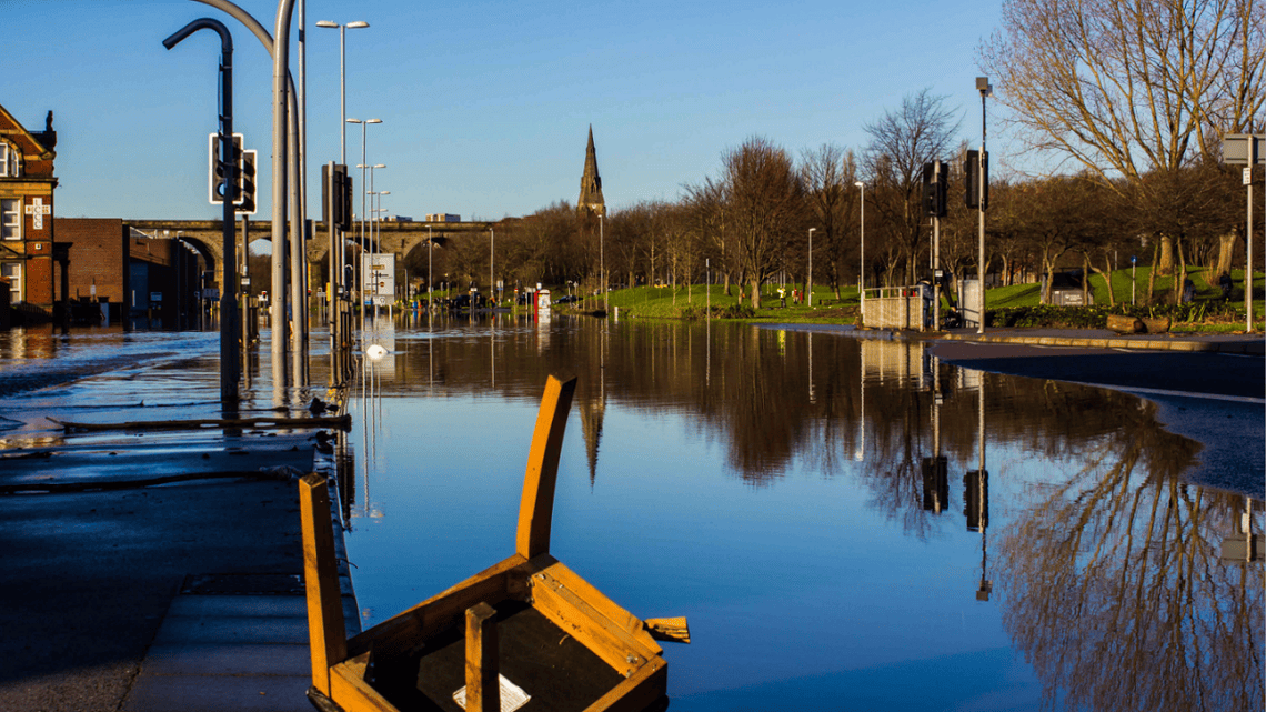
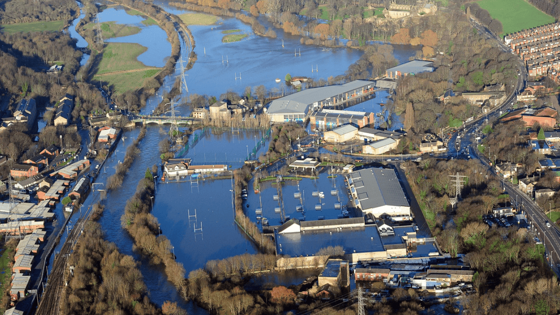
[image credits L-R: Ross Parry Agency, Ben Daure, Darryl Calvert, Ross Parry Agency]
Between Apperley Bridge and Woodlesford, the Leeds Flood Alleviation Scheme (FAS) was developed to safeguard:
- over 4,000 homes
- 1,000 businesses
- and more than 33,000 jobs
By combining advanced engineering and natural solutions, this £200 million project prepares Leeds for future challenges, including climate change, while boosting confidence in the city’s resilience.
The scheme offers a one-in-200-year level of protection plus climate change allowance against extreme flooding from the River Aire.
This level of protection would protect against another flood similar to that of Boxing Day 2015, where Leeds saw its highest ever river levels on the Aire. Despite this incredibly high level of protection, there will always be a risk of flooding. Therefore, everyone should be aware of the steps that they can take to be more prepared.
Watch our scheme video below:
Embed
Phase one
The Leeds Flood Alleviation Scheme has been carried out in two phases.
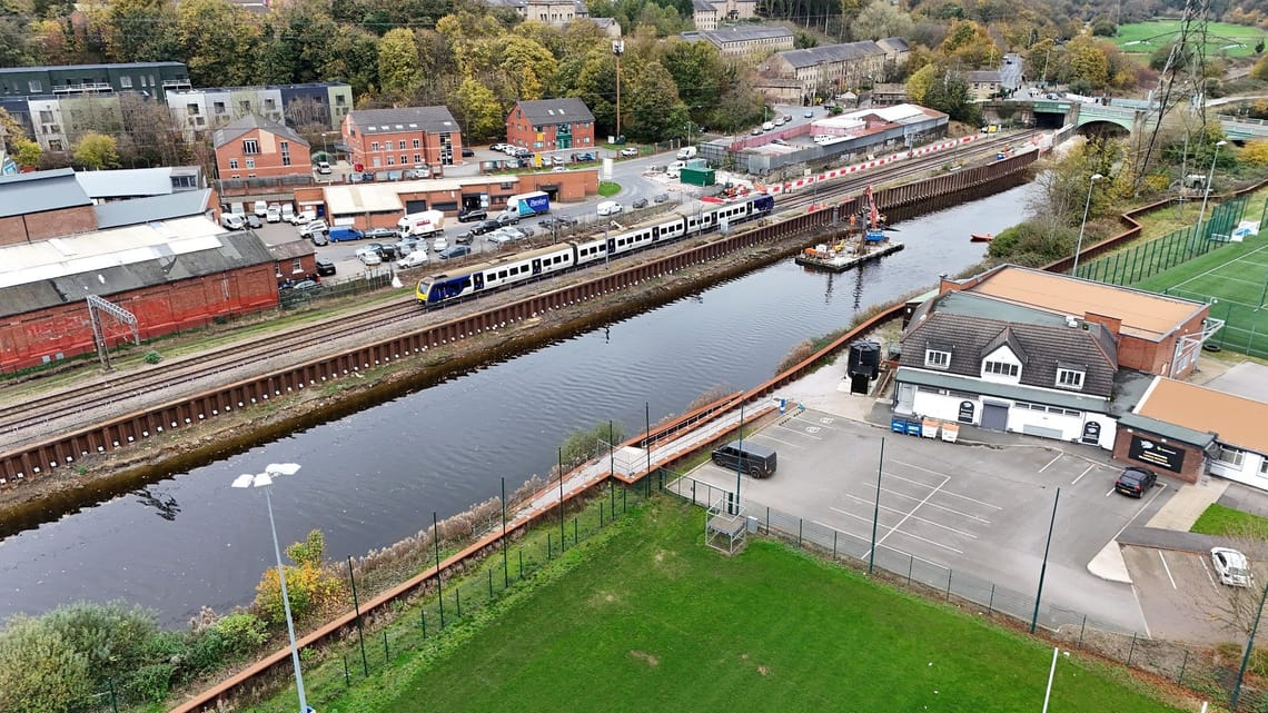
The first phase was completed in 2017 and saw the creation of moveable weirs at Crown Point and Knostrop, supported by flood walls and embankments covering 4.5 km through Leeds city centre to Woodlesford.
Watch drone footage of phase one below:
Embed
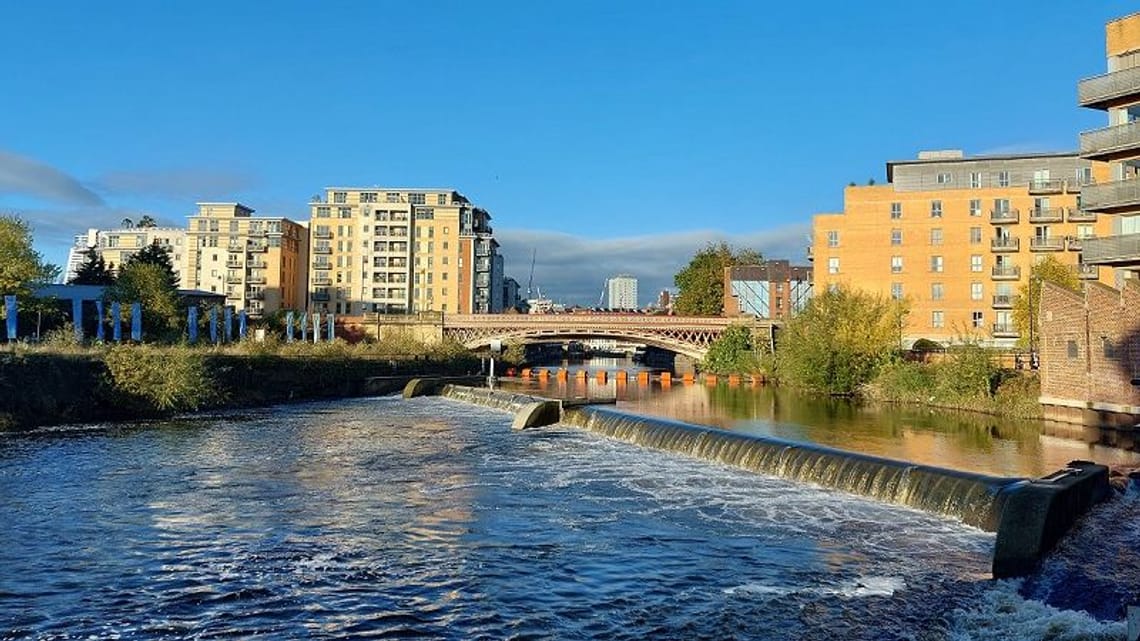
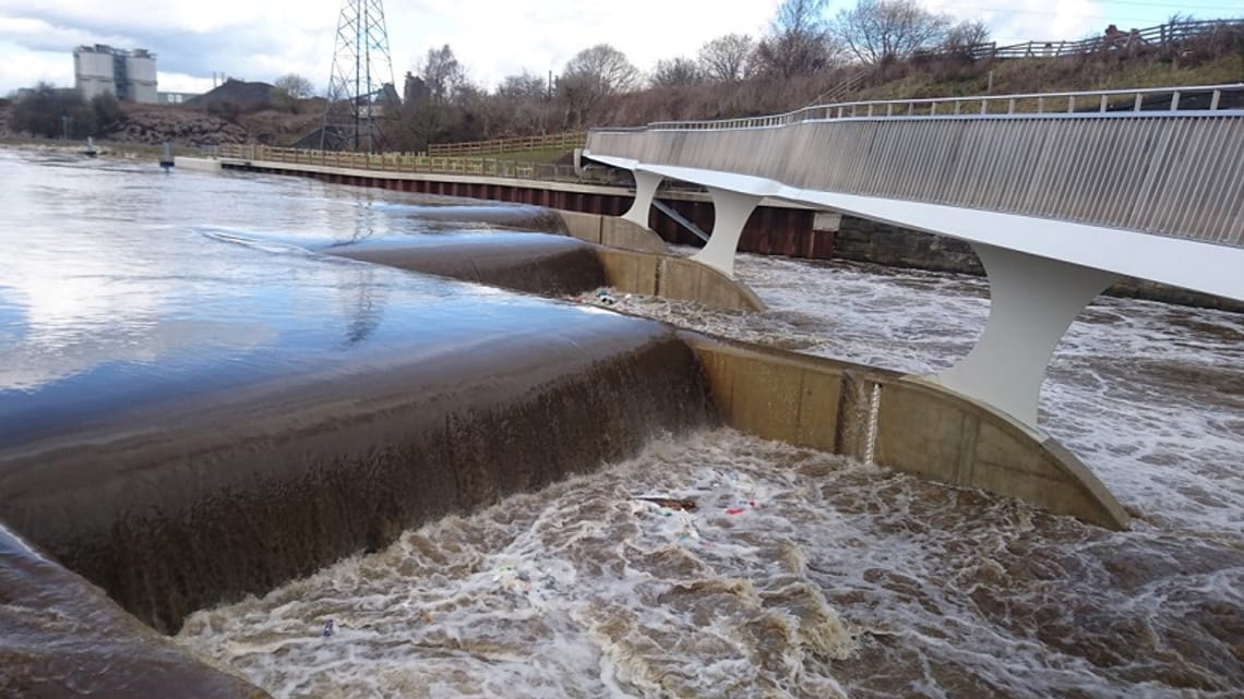
The use of moveable weirs (pictured above), able to be raised and lowered to create temporary space in the river channel, was the first time such technology had been used for flood defences in this way anywhere in the UK.
Watch the explainer video below:
Embed
Phase two
Construction of the second phase is complete as of November 2024 and includes:
Defences such as new raised flood walls, embankments, flow control structures and the removal of obstructions along 14 kilometres upstream of the River Aire (along A65 Kirkstall Road corridor to Apperley Bridge).
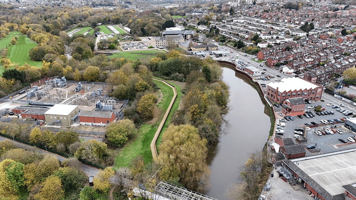
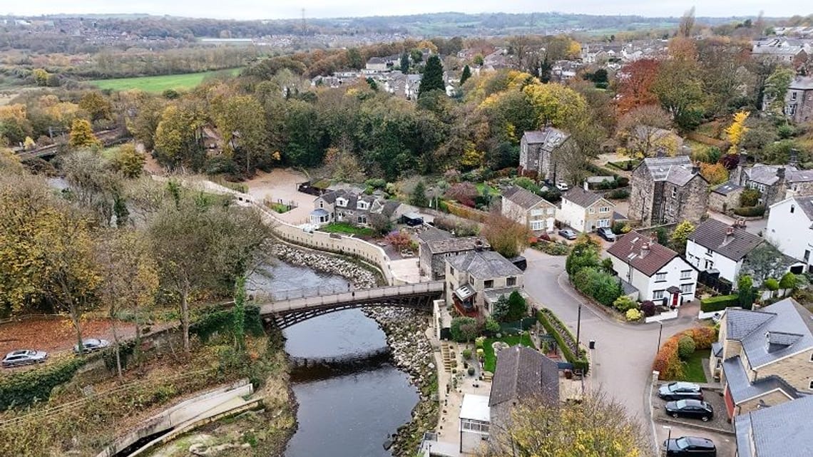
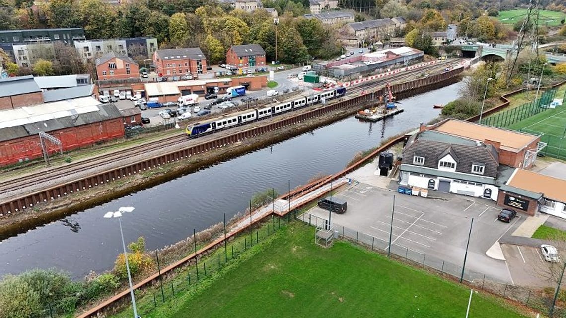
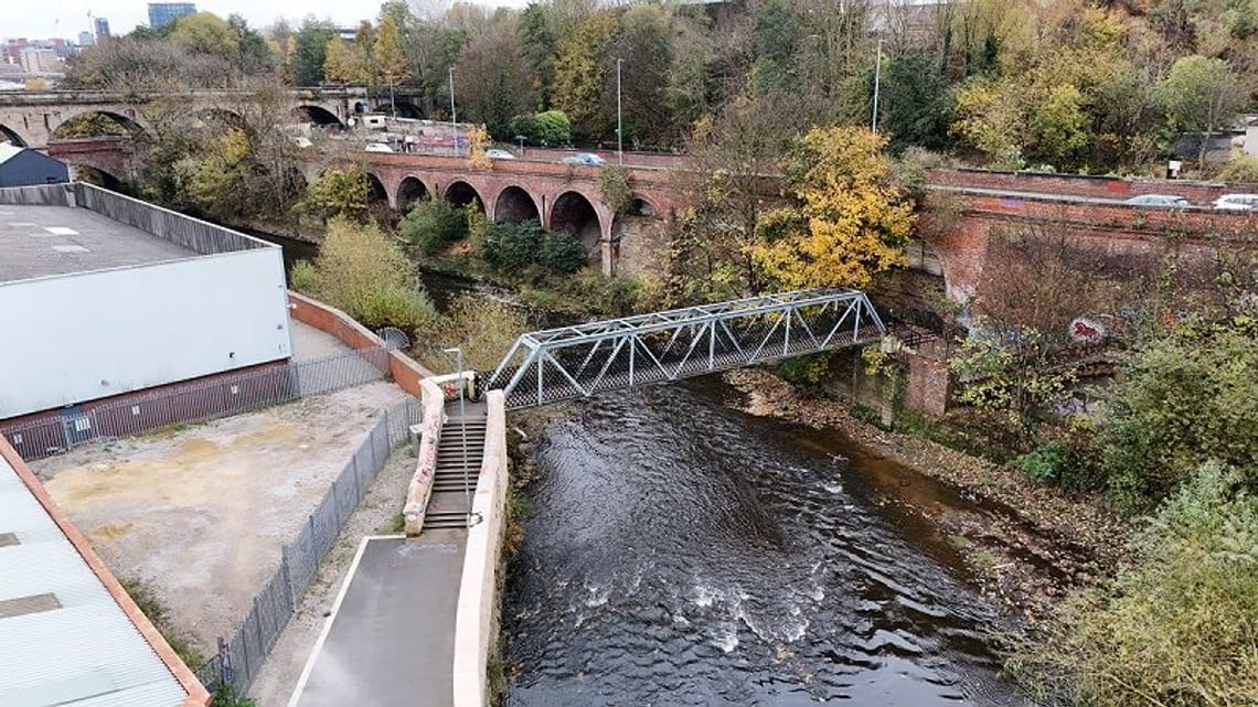
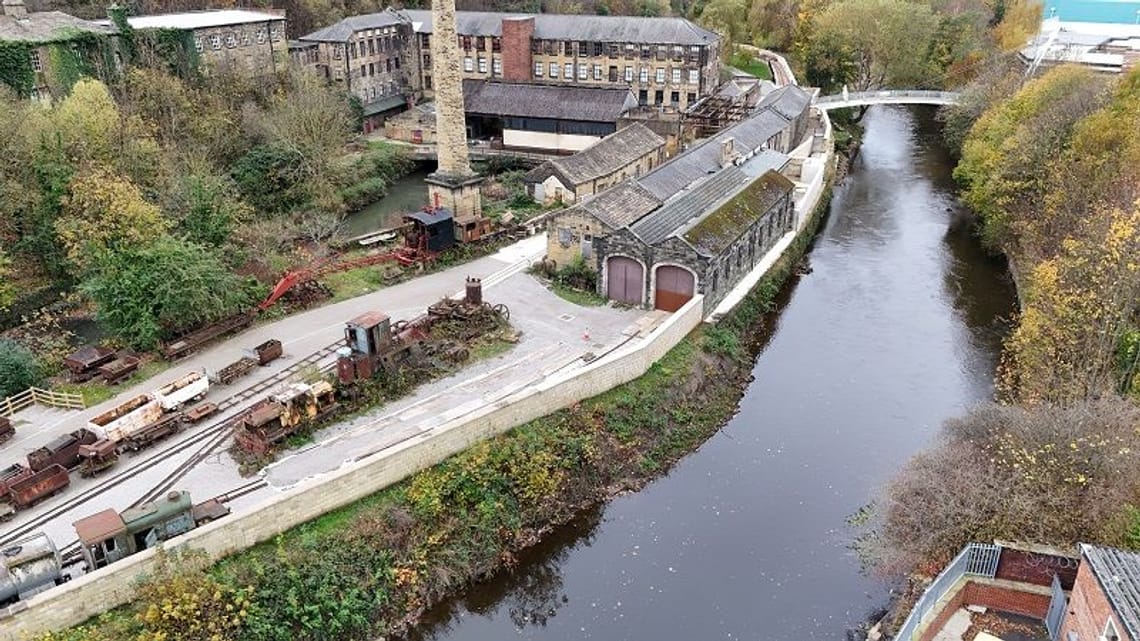
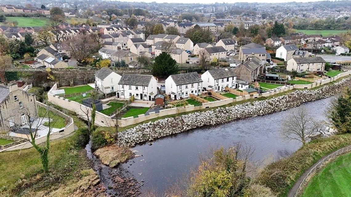
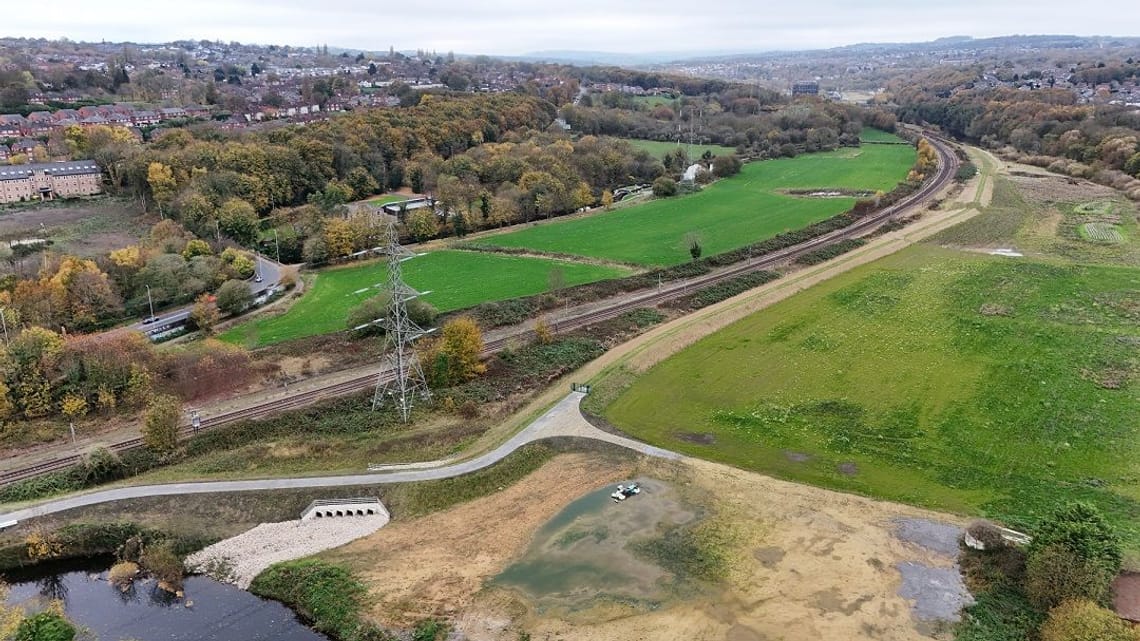
A new flood storage area near Calverley which is the largest piece of infrastructure built as part of the scheme. It can hold up to 1,800,000m3 of floodwater (equivalent to 720 Olympic-sized swimming pools).
Watch how the flood storage area will work:
Embed
Watch a drone flyover of phase 2:
Embed
Natural Flood Management (NFM)
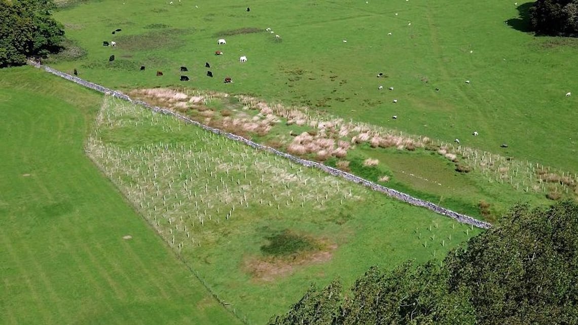
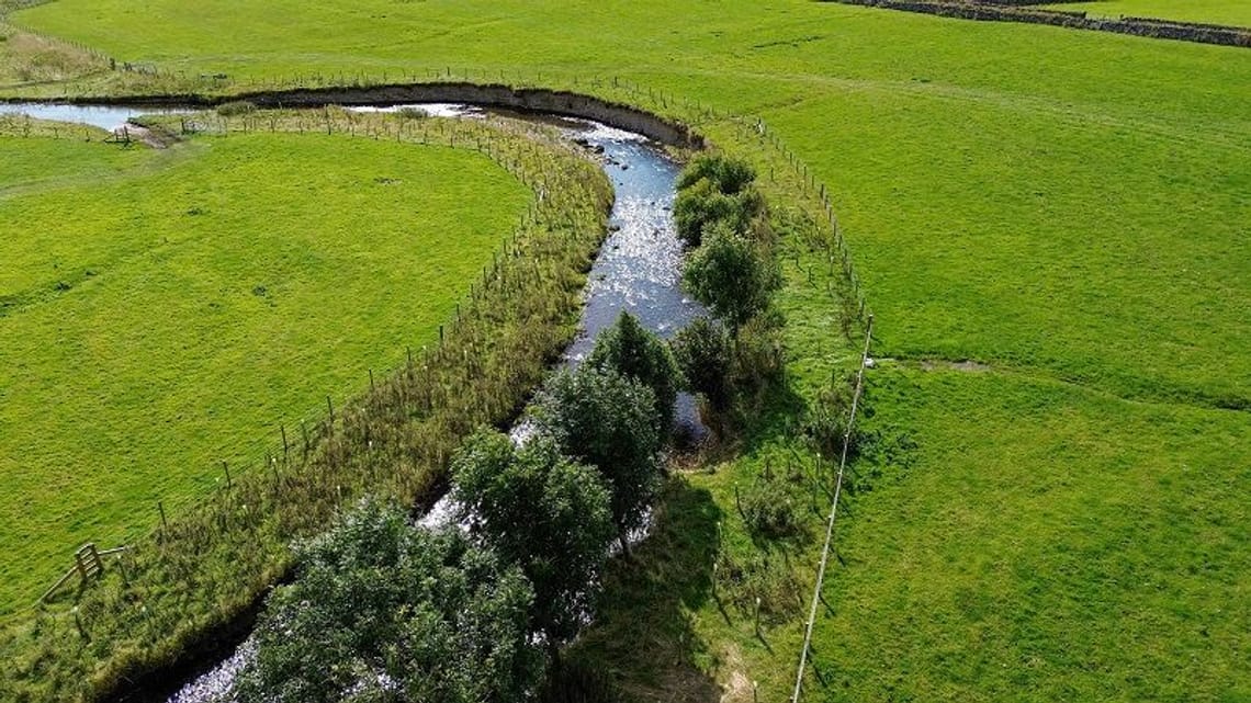
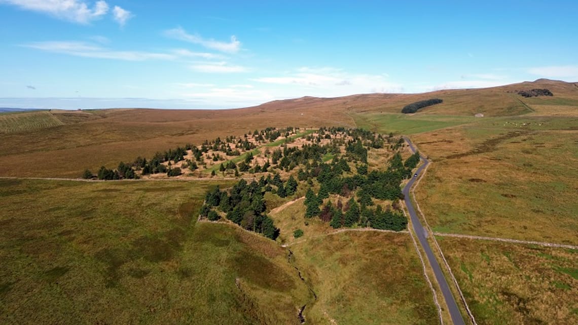
Alongside the infrastructure and engineering works, the scheme also has a strong focus on using the environment and nature to help protect against flooding, in one of the largest and most innovative natural flood management projects seen anywhere in the UK.
Stretching from Apperley Bridge to the source of the River Aire at Malham approximately 40 miles upstream from Leeds, the range of measures includes:
- Planting of around 750,000 trees
- Soil and land management measures across 1,700 football fields’ worth of land (1240ha) in the upper Aire catchment.
This work, managed by the Environment Agency in partnership with Leeds City Council, White Rose Forest and Yorkshire Wildlife Trust, will capture and slow the flow of water down the river and aims to reduce peak flows by up to five per cent, further enhancing the overall effectiveness of the flood scheme and allowing it to adapt to the impacts of climate change through to 2069.
Impacts of the scheme
- The scheme will provide a one-in-200-year level of protection plus climate change allowance against extreme flooding along the River Aire, as experienced following Storm Eva at Christmas 2015. This level of protection would protect against another flood similar to that of Boxing Day 2015, where Leeds saw its highest ever river levels on the Aire.
Health and wellbeing benefits
- Flooding causes significant emotional and mental strain for those affected. The FAS provides a sense of security for over 4,000 homes and 1,000 businesses in Leeds. Knowing that it provides a one-in-200-year level of protection helps reduce stress and worry about potential flood damage, especially for those who experienced the devastation of the 2015 floods following Storm Eva.
- By minimising the risk of flooding, the scheme ensures that fewer people will face dangerous situations like evacuations, property damage or power outages, creating safer communities.
Economic benefits
- By safeguarding over 4,000 homes and 1,000 businesses, it protects more than 33,000 jobs and reduces the risk of costly disruptions like those seen during the 2015 floods.
- Previously flood-prone land can now be used for development opportunities, boosting business and investment.
- Infrastructure is protected. Power supplies and transport routes have reduced flood risk.
Environmental benefits
- Return of species: Improved water quality and restored habitats have led to the return of species like otters and salmon to parts of the River Aire for the first time in over 200 years.
- Wildlife benefits: From fish and eel passes at the weirs to a 2.4-hectare wetland at Kirkstall Meadows, the project is creating ecosystems for local wildlife.
- Carbon savings: By recycling materials and minimising transportation during construction, the project has significantly reduced its carbon footprint. In fact, a study suggests that if the scheme operates at full capacity just once, it will save more carbon than was used in its construction.
Check out the following newsletters for more information about carbon impact and savings
Managing your flood risk
- Check your long-term flood risk. You can use this free service to find out the long-term flood risk for an area in England, the possible causes of flooding, and how to manage flood risk.
- Sign up for flood warnings by phone, text or email
- Taking steps to protect yourself from future flooding – including storing important documents in a secure, waterproof location, taking rugs and small furniture upstairs, checking how to turn off your electricity and water, preparing a flood kit.
Discover more
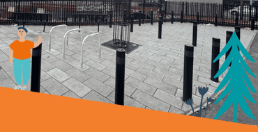
Hybrid Ecologies: Creative Interpretation at Sheepscar Beck
There's a new engaging artwork coming to Sheepscar Beck, co-created by the local community and artist Katie Surridge, inspired by the hidden wildlife in our urban environment.
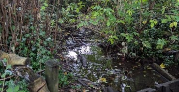
Farnley Wood Beck Natural Flood Management scheme
Find out how we're delivering NFM measures to help reduce flood risk
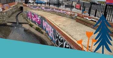
Sheepscar Beck Flood Alleviation Scheme Legacy Information
Find out more about the scheme to repair and sustain the existing level of flood risk in the area.
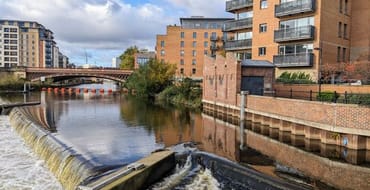
Leeds Flood Alleviation Scheme Murals
Information on the installation of two murals on the Leeds FAS control room buildings
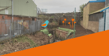
Farnley Wood Beck Legacy Information
Information on the works to alleviate flooding in Churwell from Farnley Wood Beck

Consultation - Flood Risk Management Strategy
Have your say on our draft Local Flood Risk Management Strategy
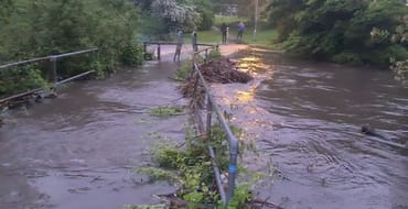
Feedback on the Meanwood Valley Farm Demonstrator Site and Meanwood Rain Chain
A short survey to accompany the information given at the Meanwood Valley Farm Summer Fair
Thorner Beck Flood Alleviation Scheme Preferred Option
Have your say on the preferred option for reducing flood risk to properties in Thorner from Thorner Beck

Sheepscar Beck FAS
We aim to carry out repair works to sustain the existing level of flood risk in the area.
Stay Informed
Follow our projects to get notified of upcoming engagements and the latest project related news.