
Leeds Local Plan - Outer East Sites
Consultation on the Issues and Options for the Leeds Local Plan took place between 7th July and 15th September 2025. This consultation has now closed. You can continue to view the consultation material on this website, but you can no longer use it to make comments. If you would like to be kept updated about the next steps with the Plan and future consultations please enter your email address below.
If you have any queries in the meantime, you can email the Local Plan Team using leedslocalplan@leeds.gov.uk
About the project
This area includes Allerton Bywater, Colton, Garforth, Halton, Great Preston, Kippax, Ledsham, Ledston, Little Preston, Methley, Micklefield, Mickletown and Swillington and Whinmoor.
The map below shows all of the potential sites that have been assessed in this area. Sites suggested for housing, industrial or commercial uses are coloured based on their score; green (lots of positives), yellow (a few negatives), orange (a lot of negatives) or red (some serious concerns). Sites suggested for minerals, waste, renewable or energy uses are coloured purple. Where sites are assessed for both types of uses, they are coloured according to their score for housing, commercial or employment use (red/orange/yellow/green). You can click on a site to find out more about it
Have your say
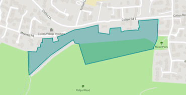
LPS00003
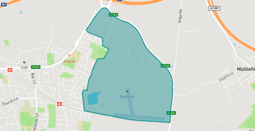
LPS00005
Sturton Grange Farm, Selby Road, Ridge Road Garforth
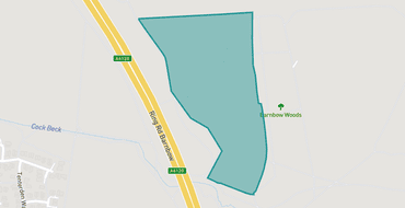
LPS00007
Site 3, Manston Lane, Manston
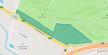
LPS00011
Land near Bell Wood, Pontefract Lane, Richmond Hill, Leeds (Adjacent junction 45 of M1)
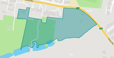
LPS00024
Selby Road Garforth
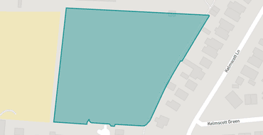
LPS00034
Land to rear 81 to 63 Kelmscott Lane, Manston
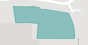
LPS00035
Land to East of Thornes Farm Way, Cross Green
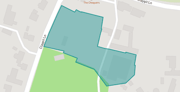
LPS00047
Warren House Farm Site, Claypit Lane, Ledsham
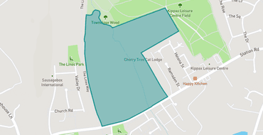
LPS00067
Land to North Townclose View and West of Station Road Kippax
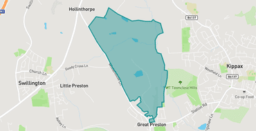
LPS00072
Land to East of Valley Drive, Great Preston
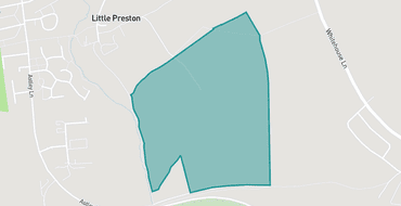
LPS00111
W Garbutt & Son, Hall Road, Swillington
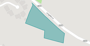
LPS00114
Land South of Longdike Lane, Kippax
Projects

Meet the team

Leeds City Council is responsible for running this consultation, analysing its results and presenting them to stakeholders and the public.
Proposals
Have your say and help shape the future of your community.
HAVE YOUR SAY
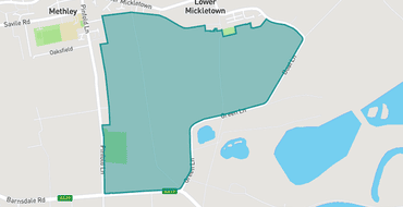
LPS00796
Land at Lower Mickletown, Coney Moor, Green Lane and Land East of Pinfold Lane/Foxholes Place, Methley
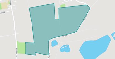
LPS00671
Land off Green Lane, Lower Mickletown, Methley
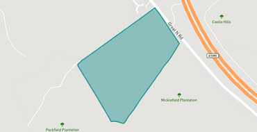
LPS00994
Land behind Woodlands, Micklefield
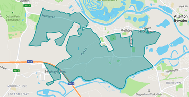
LPS00741
Land in the locality of Methley
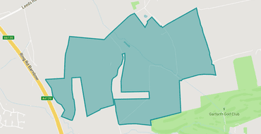
LPS00856
Barnbow Lane/Taylor Lane, Austhorpe/Scholes, Manston
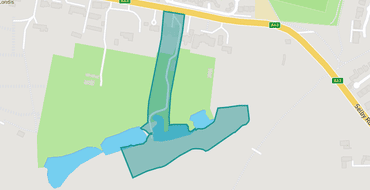
LPS00921
102 Selby Road, Garforth
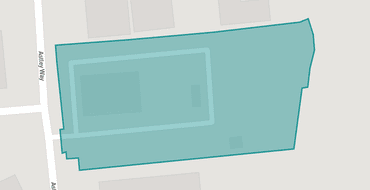
LPS00562
6A & 7 Astley Way Swillington
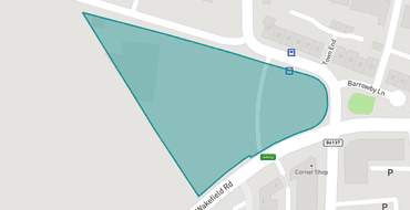
LPS00719
Barrowby Lane LS25 1NG and Wakefield Road, Garforth
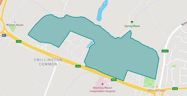
LPS00545
Carwood Park Farm, Selby road, Austhorpe
LPS00003
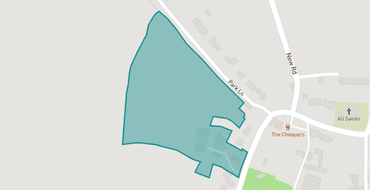
LPS00663
Hill Top Farm, Claypit Lane, Ledsham
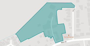
LPS00261
Hunts Farm, Main Street, Methley
Team
Let's introduce you to the team
Commonplace facilitates this conversation on behalf of the team made up of the organisations listed here. The information you provide will only be used for the purposes stated in each organisation’s privacy policy.

Leeds City Council is responsible for running this consultation, analysing its results and presenting them to stakeholders and the public.