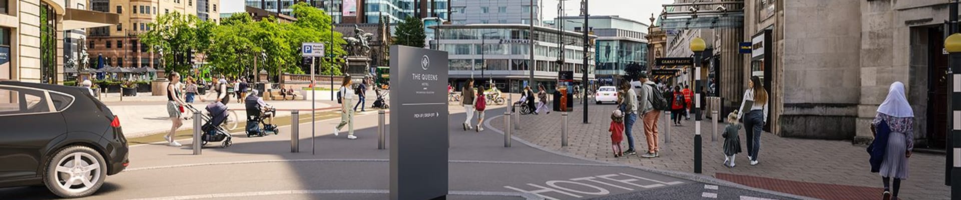
Driving into Leeds city centre: alternative routes
Alternative routes when travelling around the city including getting to Leeds Railway Station.
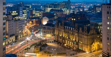
Leeds City Square
Plan ahead - alternative routes
Leeds City Square is now closed to general traffic meaning that only buses, emergency vehicles, hackney taxis, pedestrians and cycle users can access City Square. General traffic (like cars, motorcycles and private hire vehicles) can no longer access City Square.
If you do need to drive into the city centre, please be mindful that access to some destinations has changed. Plan ahead to avoid being affected by bus gates now in operation on East Parade, King Street, Infirmary Street, City Square and Neville Street.
If you’re using a SatNav device, make sure to update the mapping (if required) to avoid being routed via restricted routes where bus gates are now in operation.
Access to/from the city centre should be via the Ring Road and then a relevant junction or link. More information and alternative routes can be found below.
Access and diversion routes
View access and diversion routes, including routes for motorists who can travel to their destination without driving through the city centre. The maps are also easily printable as pdf documents at the bottom of the page.
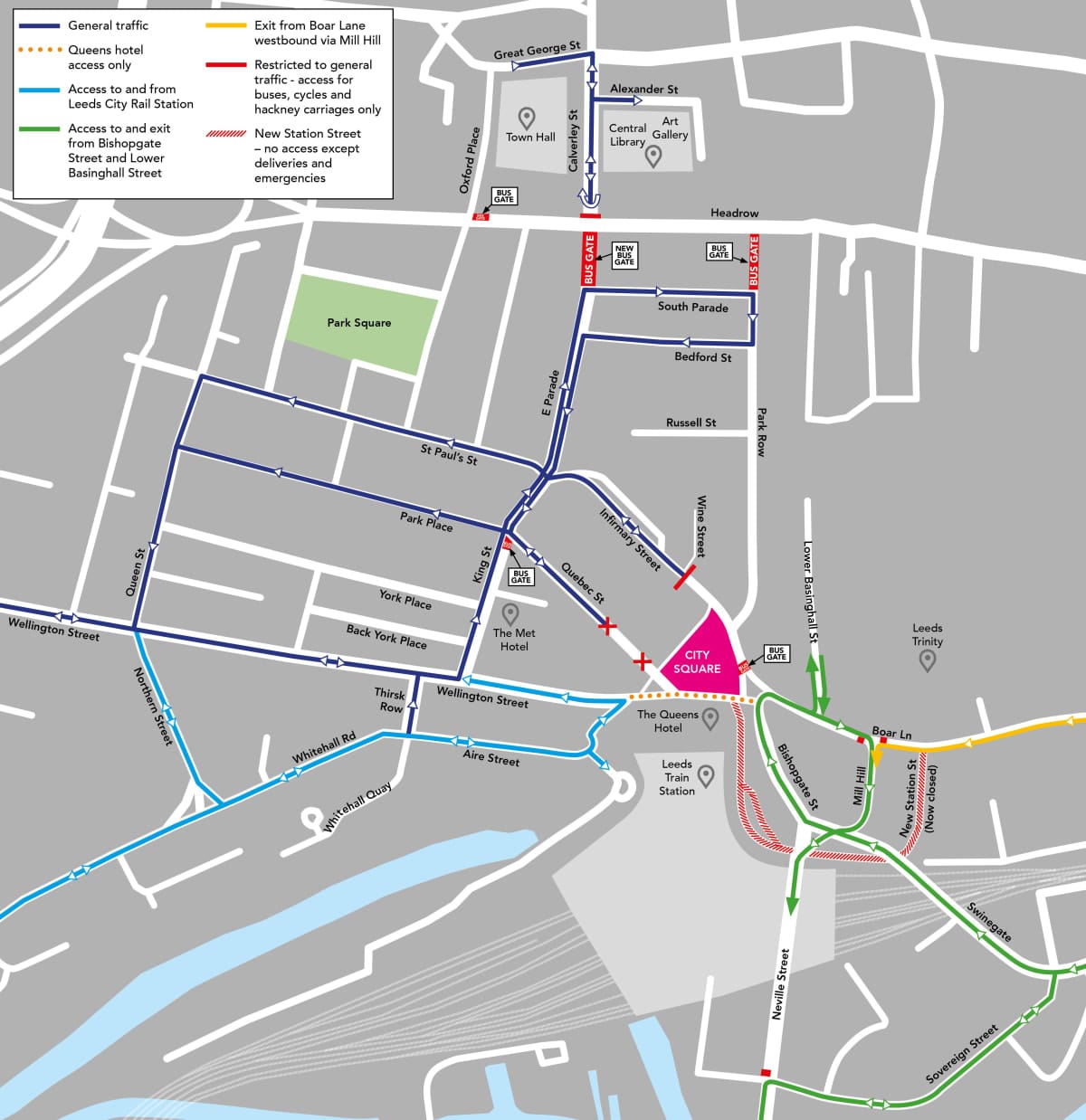
Diversion routes
Motorists who can travel to their destination without driving through the city centre are encouraged to consider a number of diversionary routes.
These involve using junctions 4 and 2 of the M621, depending on your destination of travel.
- Junction 4 - travel along the A61. From there, use East Street to travel into the southern part of the city centre, or follow Marsh Lane to join the A64(M) ring road and access the northern part of the city centre.
- Junction 2 - travel along the A643 including the Armley Gyratory before joining the A58. Use the A58 and A58(M) ring road to access the northern part of the city.
Motorists who must use junction 3 of the M621 to travel into the city centre are urged to follow Great Wilson Street and Hunslet Road to join the diversionary route at South Accommodation Road.
In all instances, motorists are encouraged to plan their journey in advance and allow extra time, or consider alternative ways to travel like using the Park & Ride from Stourton, Elland Road or Temple Green.
Parking
Blue badge parking
Blue badge parking is available across the city centre. Visit this page for more information on where blue badge holders can and can’t park and an interactive map highlighting 131 available spaces across 26 locations in the city centre.
Car parks
It's still easy to access car parks in the city centre. Use the directions below for routes to car parks. The maps also show diversion routes into the city.
Access to car parks in the city centre
Key destinations
Below are directions to key destinations throughout the city. In most instances we've provided more than one route depending on whether you would use junction 2 or 4 of the M621.
Discover more
Getting to Leeds City Rail Station
How to get to Leeds City Rail Station
Construction of the scheme
Click here to find out about the completed construction of City Square.
Previous consultations
Understand the scheme, how journeys will change and view previous feedback.
Stay Informed
Follow our projects to get notified of upcoming engagements and the latest project related news.