
Scheme Overview
Read more about the Dawsons Corner scheme and our vision for the area.
Dawsons Corner
Scheme Overview
We are working on a major improvement scheme for Dawsons Corner, a key junction in the north west of Leeds.
The junction connects the A647 Stanningley Road and the A6120 Ring Road, two of the most important routes in the city.
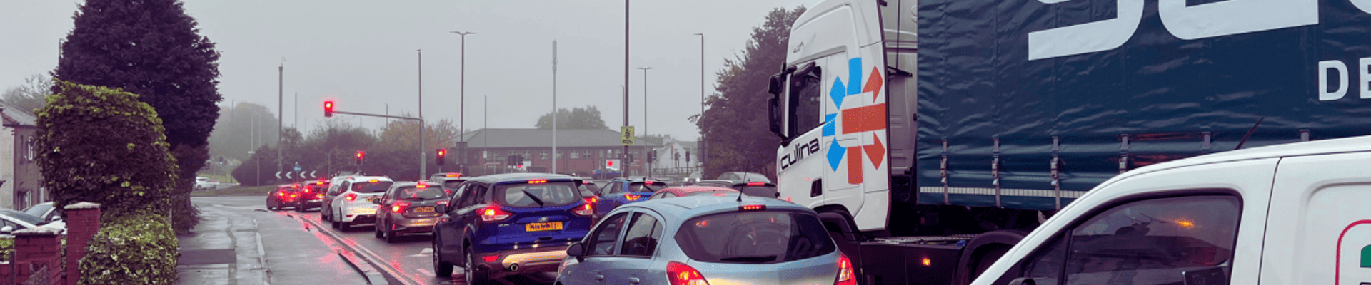
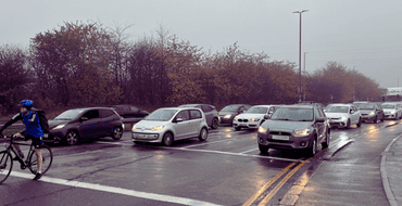
Around 57,000 vehicles and 1,200 pedestrians and cyclists use Dawsons Corner every day. The area suffers from high levels of congestion, pollution and collisions, affecting the quality of life and safety of residents, commuters and visitors.

This scheme is part of our Connecting Leeds programme, which aims to transform transport and travel in Leeds by 2030.
By creating better public transport, walking and cycling options, we want to reduce car dependency and congestion, improve air quality, support economic growth, enhance health and wellbeing, improve journey times at this busy location, and to ensure that traffic flows on the main route to reduce rat-running.
Our vision for Dawsons Corner is to create a more efficient, safe and attractive junction that works for local people as well as vehicles.
Simultaneous works are also taking place on Stanningley Bypass, a critical link between Dawsons Corner and the A647. Safety-critical works will occur during school holidays to minimise disruption, and a temporary 30mph speed limit will be enforced during this period.
These works are essential to address surface issues that have contributed to accidents. The improvements will help reduce congestion, enhance journey time reliability, and increase safety on the Bypass, ensuring the long-term resilience of this important route.
The scheme will deliver:
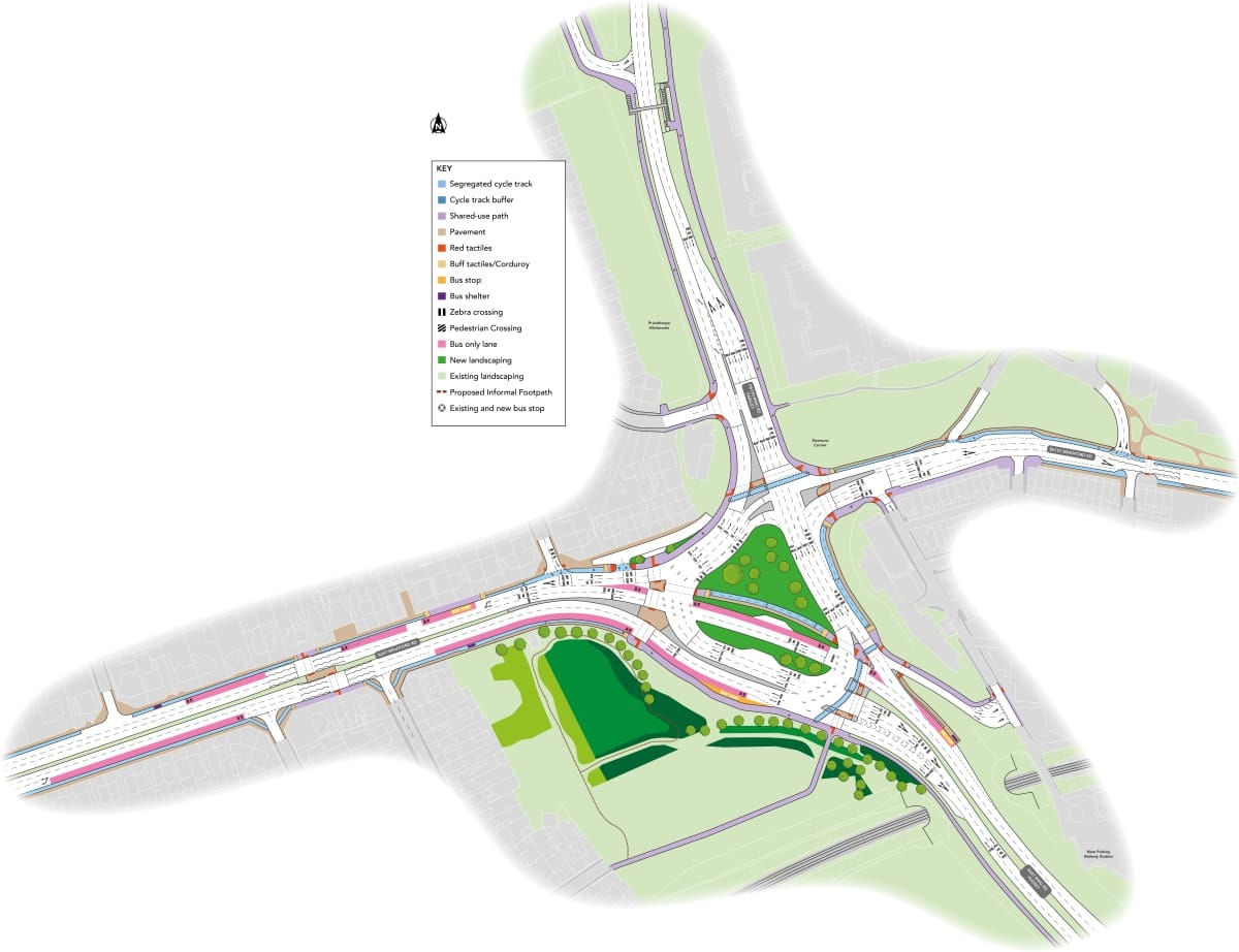
- A new road layout with increased capacity and improved traffic flow
- New pedestrian and cycle crossings with segregated facilities and green spaces
- Upgraded traffic signals with smart technology and bus priority
- Enhanced landscaping and public realm with new planting, seating and lighting
The scheme will benefit all road users and local communities by:
- Reducing congestion and journey times
- Improving safety and accessibility
- Encouraging active travel and healthy lifestyles
- Supporting local businesses and services
- Contributing to the net zero carbon target
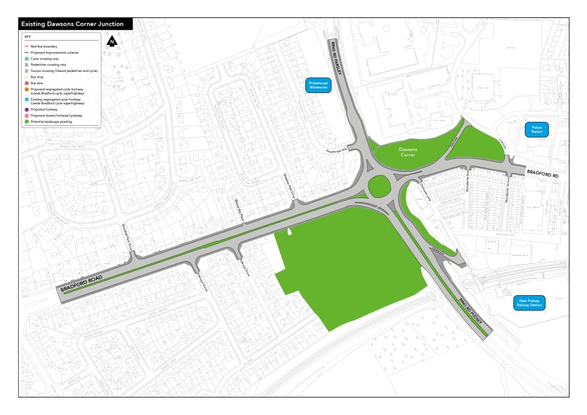
Dawsons Corner current layout:
Dawsons Corner proposed layout:
View the boards to find out more about the scheme
Discover more
New Dawsons layout
See how the upgrades will improve driving, walking, cycling and bus journeys.
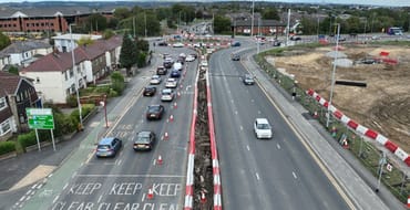
Construction
Take a look at the construction phases, and planned traffic management.
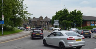
Events
View our drop-in events.
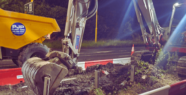
Construction & repairs images
Take a look at images of our construction works in progress.
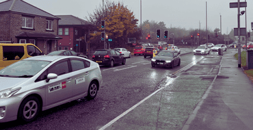
Previous Consultation
Take a look at details of the original public consultation for this scheme.
Frequently Asked Questions
View frequently asked questions on the scheme
Stay Informed
Follow our projects to get notified of upcoming engagements and the latest project related news.