
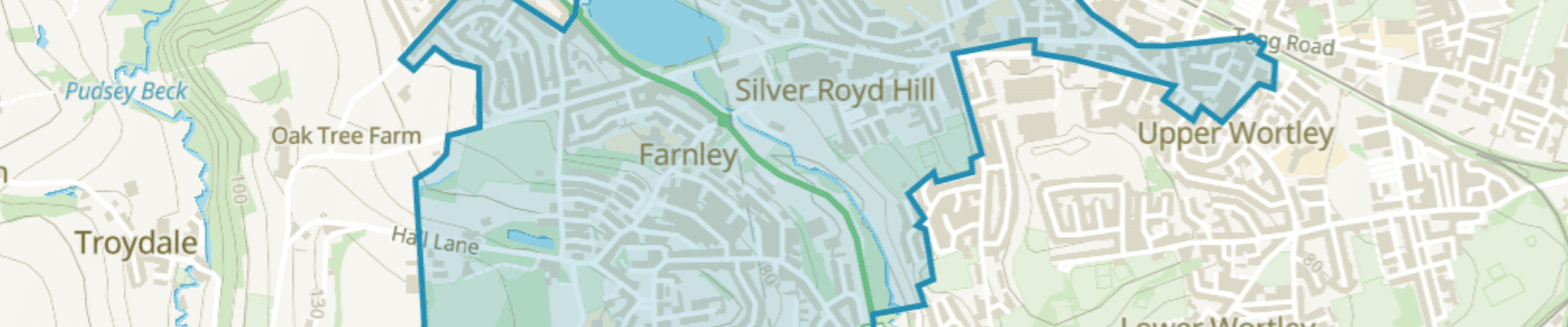
Farnley East Pride in Place Boundary Map
Map of the Farnley East Pride in Place Boundary
Farnley Pride in Place
Farnley East Pride in Place
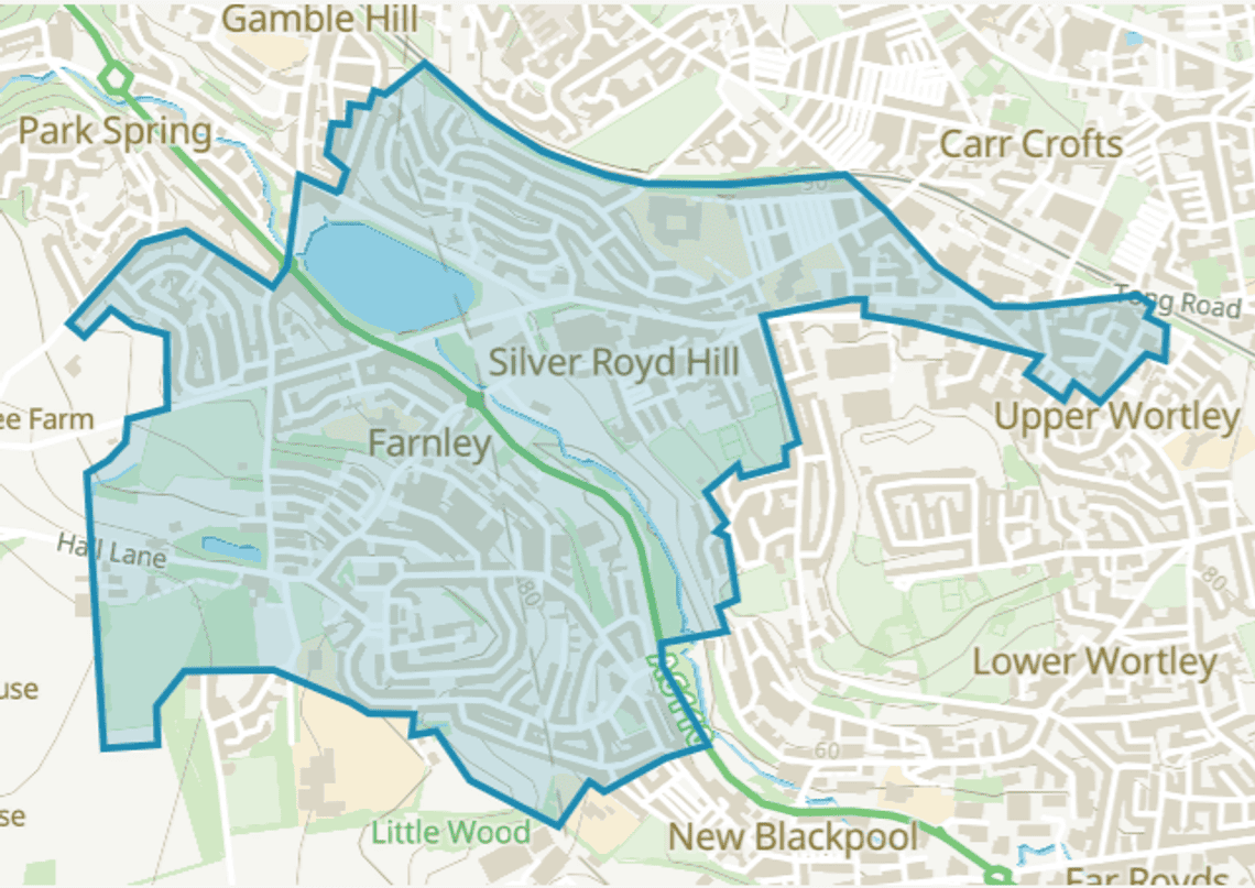
This boundary map shows the area covered by the Farnley East Pride in Place programme. It provides a clear picture of the area where local projects, investment and community-led improvements will be focused. The Pride in Place area covers part of the Farnley and Wortley Ward in West Leeds and includes approximately 3,834 households, with a population of around 9,527 people. Jo Gittins is the Independent Chair of the Farnley East Neighbourhood Board.
The map shows how the Farnley East Neighbourhood Board represents the local area, identifies priorities and works with local people and organisations to make positive changes. It provides a shared reference point for community discussions, engagement activities and local decision-making, helping ensure that the views and needs of Farnley East residents are reflected in the Pride in Place programme.
To find out more about Pride in Place in Farnley East, email PrideinPlace.Farnley@Leeds.gov.uk or visit the Council and Democracy pages for information about the make-up of the Farnley East Neighbourhood Board and previous board meeting agendas and minutes.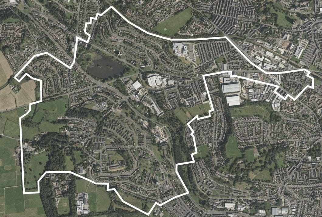
Discover more

Complete our Online Survey
Share your view about Farnley East and you would spend £20 million on to improve your neighbourhood
How can I get involved?
Find out how you can get involved with Farnley East Pride in Place through sharing your views, applying for funding or being part of our Community Connects Group
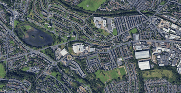
Interactive Farnley East Pride in Place Boundary Map
Place a pin on this map and tell us what you would like to see in Farnley East

Meet the Farnley East Pride in Place Board
Learn more about our Board Members and how they want to shape Farnley East

What is Pride in Place and other FAQs
Find out more about Farnley East Pride in Place and how you can get involved
Stay Informed
Follow our projects to get notified of upcoming engagements and the latest project related news.