
Title
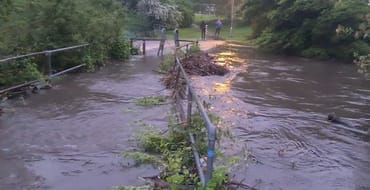
Otley is at high risk of flooding. Parts of Otley have experienced flooding many times over the years, including December 2015 when the River Wharfe burst its banks.
That’s why Leeds City Council and the Environment Agency partnered with WSP, BAM Nuttall and Mott Macdonald to create the Otley Flood Alleviation Scheme (Otley FAS).
In late 2021, the £4.5 million scheme was completed, and dramatically reduces the flood risk around the Wharfemeadows Park area from 20% in any given year to 4% in any given year.
Watch our video below to find out more about the scheme, why it was needed and what solutions were implemented.
Embed
In February 2022, the scheme was tested for the first time after heavy rainfall, and performed as designed. Watch our video below for the reaction to the success of the scheme from residents:
Embed
The wider impacts of the scheme:
We have successfully reduced the likelihood of flooding in Otley – but it’s not just flooding. The scheme has also created long term benefits for the environment and wildlife through waste reduction, tree planting and conservation techniques.
See our animation below for the figures:
Embed
What is next for the scheme?
Construction is complete, but our work to alleviate flooding in Otley will continue for several years, including:
- The Environment Agency will soon be refreshing their flood alerts service to account for the new defences.
- The effectiveness of the scheme will continue to be monitored whenever the forecast predicts it is needed
- Once the fish spawning season has been completed, there will be additional works on the vegetation downstream of the weir, to further manage out and replace the crack willow.
- Once that work is complete there will also be a continued maintenance of the islands for at least 10 years, to ensure that the flood risk level is maintained.
Managing your flood risk
The measures we have taken in Otley will dramatically reduce the likelihood of flooding in the area, but there are still steps that we can all take to prepare ahead of flooding.
Visit the how to prepare for flooding page on the Leeds City Council website for advice on checking your flood risk, home insurance, flood barriers, making a flood plan and how to report a flood.
Visit the Yorkshire Flood Resilience website for more advice on flood resilience and property level protection.
See the other ways that we’re reducing flooding across the Leeds City Region.
Discover more

Hybrid Ecologies: Creative Interpretation at Sheepscar Beck
There's a new engaging artwork coming to Sheepscar Beck, co-created by the local community and artist Katie Surridge, inspired by the hidden wildlife in our urban environment.
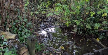
Farnley Wood Beck Natural Flood Management scheme
Find out how we're delivering NFM measures to help reduce flood risk
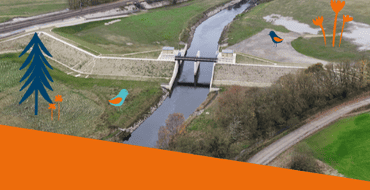
Leeds Flood Alleviation Scheme Legacy Information
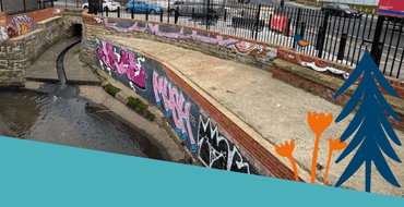
Sheepscar Beck Flood Alleviation Scheme Legacy Information
Find out more about the scheme to repair and sustain the existing level of flood risk in the area.
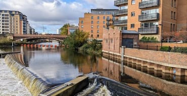
Leeds Flood Alleviation Scheme Murals
Information on the installation of two murals on the Leeds FAS control room buildings

Consultation - Flood Risk Management Strategy
Have your say on our draft Local Flood Risk Management Strategy
Feedback on the Meanwood Valley Farm Demonstrator Site and Meanwood Rain Chain
A short survey to accompany the information given at the Meanwood Valley Farm Summer Fair
Thorner Beck Flood Alleviation Scheme Preferred Option
Have your say on the preferred option for reducing flood risk to properties in Thorner from Thorner Beck

Sheepscar Beck FAS
We aim to carry out repair works to sustain the existing level of flood risk in the area.
ਜਾਣਕਾਰੀ ਵਿੱਚ ਰਹੋ
ਆਉਣ ਵਾਲੀਆਂ ਗਤਿਵਿਧੀਆਂ ਅਤੇ ਪ੍ਰੋਜੈਕਟ ਸੰਬੰਧੀ ਤਾਜ਼ਾ ਖ਼ਬਰਾਂ ਬਾਰੇ ਸੂਚਨਾਵਾਂ ਲਈ ਸਾਡੇ ਪ੍ਰੋਜੈਕਟਾਂ ਨੂੰ ਫਾਲੋ ਕਰੋ।