
Leeds Local Plan - Outer North West Sites
Consultation on the Issues and Options for the Leeds Local Plan took place between 7th July and 15th September 2025. This consultation has now closed. You can continue to view the consultation material on this website, but you can no longer use it to make comments. If you would like to be kept updated about the next steps with the Plan and future consultations please enter your email address below.
If you have any queries in the meantime, you can email the Local Plan Team using leedslocalplan@leeds.gov.uk
About the project
This area includes Adel, Bramhope, Cookridge, Guiseley, Horsforth, Otley, Pool-in-Wharfedale, Rawdon, and Yeadon.
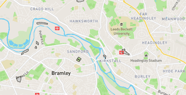
The map below shows all of the potential sites that have been assessed in this area. Sites suggested for housing, industrial or commercial uses are coloured based on their score; green (lots of positives), yellow (a few negatives), orange (a lot of negatives) or red (some serious concerns). Sites suggested for minerals, waste, renewable or energy uses are coloured purple. Where sites are assessed for both types of uses, they are coloured according to their score for housing, commercial or employment use (red/orange/yellow/green). You can click on a site to find out more about it
Have your say
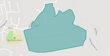
LPS00010
Tile Lane, Adel
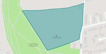
LPS00016
Land on West Side of Haw Lane, Yeadon
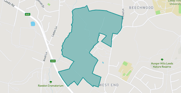
LPS00018
Land Adjacent to West End Lane and Layton Lane, Horsforth
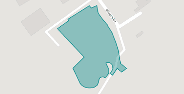
LPS00030
Old Brick Quarry, Milners Road, Yeadon
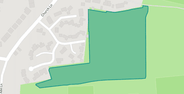
LPS00045
Land East of Sadler Way, Adel
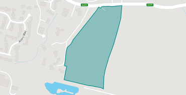
LPS00046
Land south of Arthington Lane Pool in Wharfedale
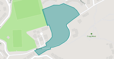
LPS00066
Land to the north of Wood Lane, Horsforth
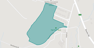
LPS00070
Woodlands Drive Rawdon
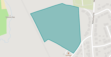
LPS00074
Land at Ings Lane, Guiseley
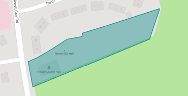
LPS00107
Land to the rear of Newall Church Hall, Newall Carr Rd, Otley
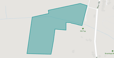
LPS00120
Land at Moor Road, Bramhope
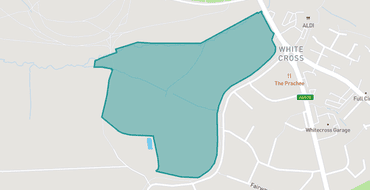
LPS00129
Land West of White Cross Roundabout, Guiseley
Projects

Meet the team

Leeds City Council is responsible for running this consultation, analysing its results and presenting them to stakeholders and the public.
Proposals
Have your say and help shape the future of your community.
HAVE YOUR SAY
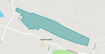
LPS00718
Hawksworth Quarry, Odda Lane, Hawksworth
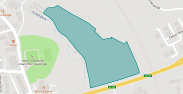
LPS00242
Low Lane / Ring Road, Horsforth, Leeds
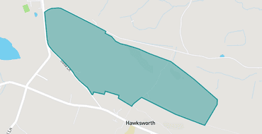
LPS00780
Hawksworth Quarry, Odda Lane, Hawksworth
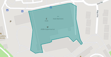
LPS00482
Asda Adel Supermarket, Holt Park Rd
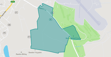
LPS00861
Bayton Lane/Yeadon Moor Road, Horsforth
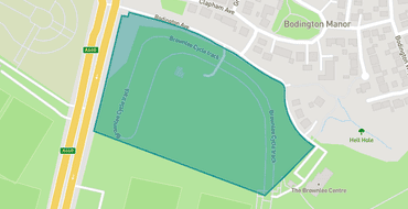
LPS00405
Bodington Business Park Otley Road
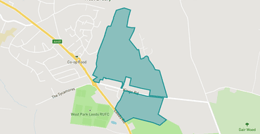
LPS00170
Breary Grange Farm, Kings Road, Bramhope
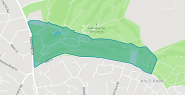
LPS00132
Cookridge Hall Golf Club, Cookridge Lane, Cookridge
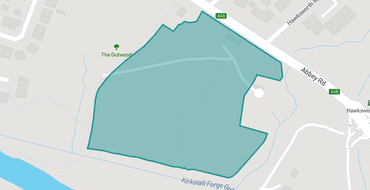
LPS00675
Former Sewage Works, Rein Road, Horsforth
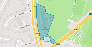
LPS00653
Former Weetwood Police Station, 300 Otley Rd, Weetwood
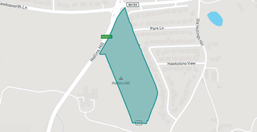
LPS00140
Hollins Hill and Hawkstone Avenue, Guiseley
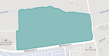
LPS00855
Land 0007 Whitehouse Lane/Yeadon Moor Road, Yeadon
Team
Let's introduce you to the team
Commonplace facilitates this conversation on behalf of the team made up of the organisations listed here. The information you provide will only be used for the purposes stated in each organisation’s privacy policy.

Leeds City Council is responsible for running this consultation, analysing its results and presenting them to stakeholders and the public.