Trout Run Watershed
We Need Your Input
The City of Roanoke Stormwater Utility needs your help to understand flood risk in your community. Stormwater is developing a master plan for the Trout Run watershed that will help us identify projects to improve water quality and reduce flooding. Several studies have suggested that significant flooding can occur in parts of the watershed, but we have limited community information on past floods and the damage residents and businesses have experienced from the watershed as a whole. We want to hear from you to better plan for and reduce your future flood risk!
This survey will take you approximately 5 minutes to complete. If you have more to share than fits in this survey, we would love to hear from you at either 540-853-5900 or stormwater@roanokeva.gov.
Please fill out the survey at the link below or print the page in the supporting documents and mail it to: Roanoke Stormwater (1802 Courtland Rd NE, Roanoke VA 24012).
Encuesta de Inundación de Trout Run
Background
Watershed master plans summarize a watershed's land use and characteristics, analyze flood risk, and both prioritize and propose future projects for greater flood resilience. Your contribution will help us better understand the area in order to protect the watershed and its surrounding community.
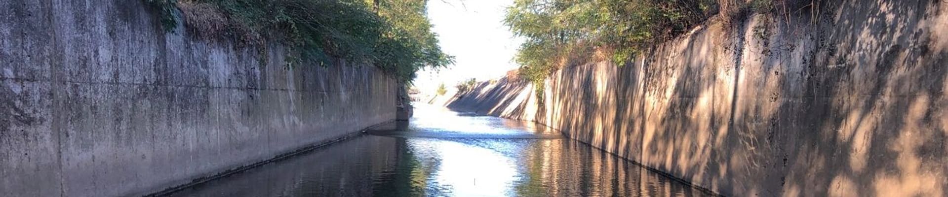
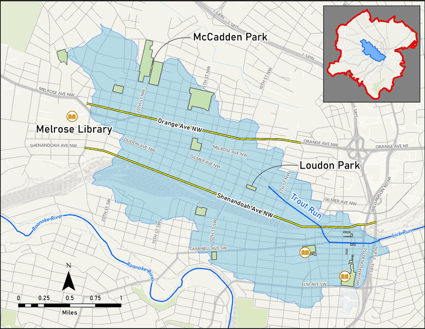
The Trout Run watershed drains the Northwest Neighborhoods and the center of the City of Roanoke from Lafayette Blvd. in the northwest, to the Norfolk-Southern East End Shops in the southeast. There, it meets with Lick Run and flows to the east in a concrete lined channel, eventually draining into Tinker Creek and then the Roanoke River. The stream is approximately 2.7 miles in length, though it is nearly invisible, as it was buried in large storm drain tunnels starting in the late 1880’s.
Stay Informed
Get notified on upcoming engagements and the latest project related news.