
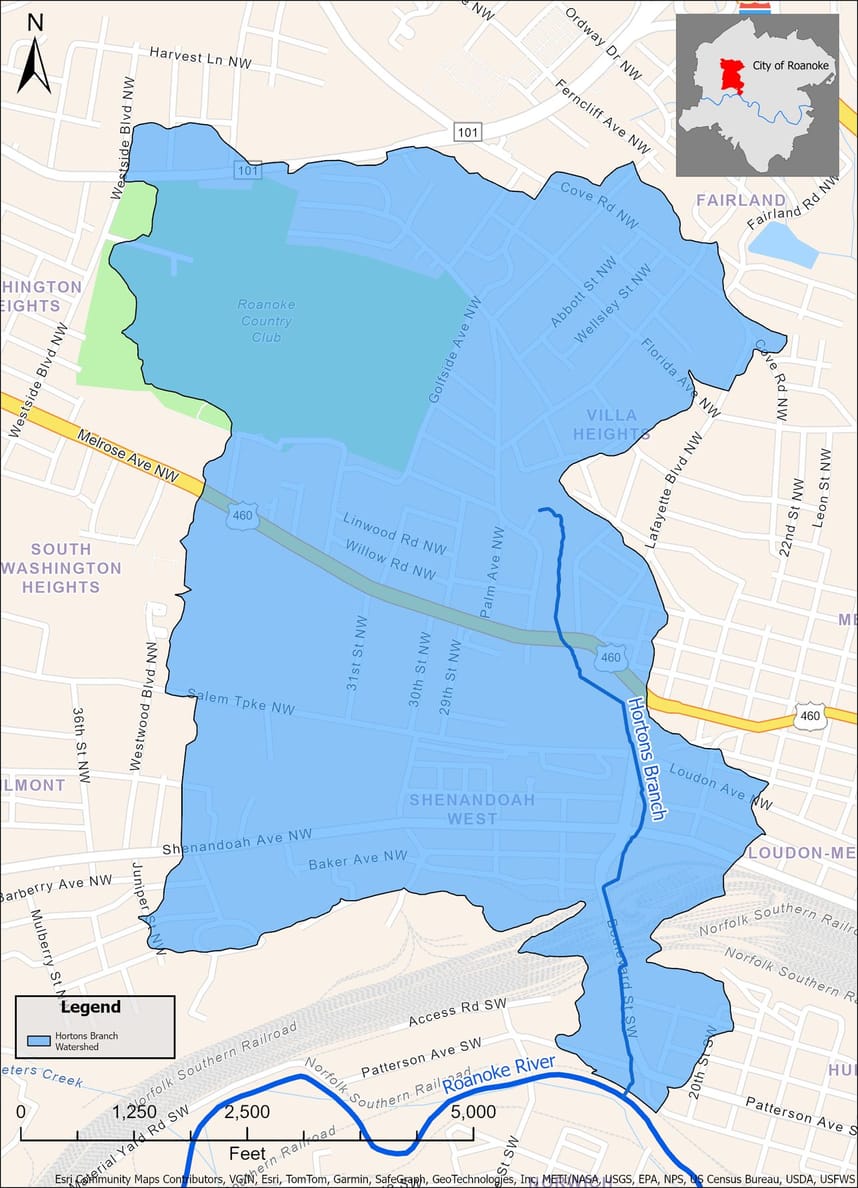
Horton's Branch Watershed Master Planning
The City of Roanoke Stormwater Utility needs your help to understand flood risk in your community! The Stormwater Utility is considering implementing drainage improvements in this area, but currently lacks data about historical or recent flooding that has occurred in the Horton’s Branch watershed. Several studies have suggested that significant flooding can occur here but we have limited community information on past floods and the damage residents and businesses have experienced.
As the City of Roanoke Stormwater Utility, we aim to gather all known flood-related data of the watershed and systematically identify and prioritize strategies to mitigate any flood risk that poses a threat. Your contribution will help us deepen our understanding of the area in order to develop a comprehensive master plan that safeguards the watershed and its surrounding community.
The Horton's Branch Watershed Master Plan will summarize four main aspects:
• Understanding land use, neighborhood characteristics and development patterns.
• Analyzing the watershed's hydrology, hydraulics and the flooding trends from the community's experience.
• Estimating the 100-year floodplain and evaluating community perspectives on a regulatory floodplain.
• Proposing relevant projects for reducing flood risk, which will be evaluated against the five resilience principles in the Roanoke Flood Resilience plan.
We want to hear from you to better plan for and reduce your future flood risk! Every sector of our community, from residents to businesses, has a role in shaping these solutions.
The survey may be completed by paper and mailed to Roanoke Stormwater (1802 Courtland Rd NE, Roanoke VA 24012) or completed virtually at:
Virtual Survey: Survey closed
Spanish Virtual Survey: Survey closed
Stay Informed
Get notified on upcoming engagements and the latest project related news.