
Overview maps of schemes
Colour coded map showing the location of the proposed improvements
A38, Alveston Hill and Bradley Stoke Way active travel improvements
Overview maps
These colour-coded maps show how the different schemes connect up, forming a key part of the local integrated network of active and sustainable travel options.
Maps are annotated to provide information about key improvements.
Check out the annotated maps
Discover more
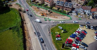
FAQs
Answers to common questions

Traffic management (Alveston Hill)
Diversionary routes while construction work is underway.

Traffic management (BSW)
Diversionary routes whilst construction work is underway

Traffic management (A38)
Diversionary routes whilst construction work is underway.
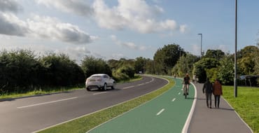
A38 background information
The public transport and active travel improvements for the A38.
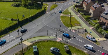
Alveston Hill
Further information about the scheme providing a direct cycle link between Thornbury and Alveston.

Bradley Stoke Way
The public transport and active travel improvements planned for the Bradley Stoke Way

Consultation Archive
View the information provided during, and results of, the project consultation stage.

Consultation results summary reports
Summary of local people's thoughts on new cycling and pedestrian improvements for the A38, Alveston Hill and Bradley Stoke Way.
Stay Informed
Follow our projects to get notified of upcoming engagements and the latest project related news.