
Safety Access & Flow Enhancements for Siegen Lane
Creating a Safer, More Accessible, and More Reliable Corridor
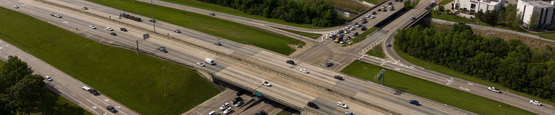
Siegen Lane is one of the busiest commercial corridors in the City of St. George, serving thousands of residents, businesses, employees, and visitors every day. As traffic has increased over the years, so have safety concerns, congestion, and conflicts between vehicles, pedestrians, and people accessing nearby businesses.
The SAFE Siegen project is designed to improve safety, access, and traffic flow while making the corridor easier to navigate for everyone.
Project Overview
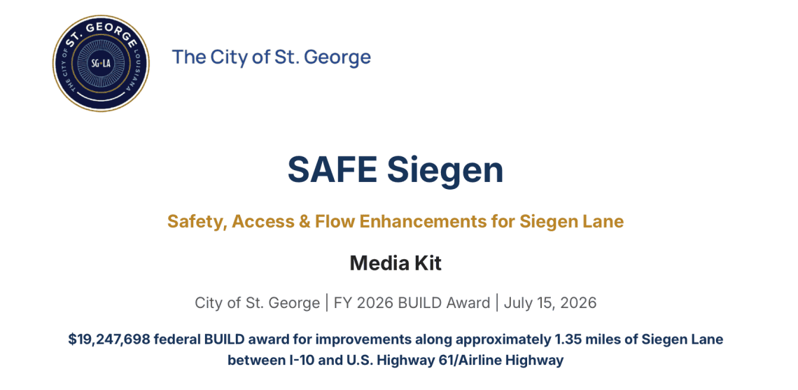
Siegen Lane Rendering
Project Overview
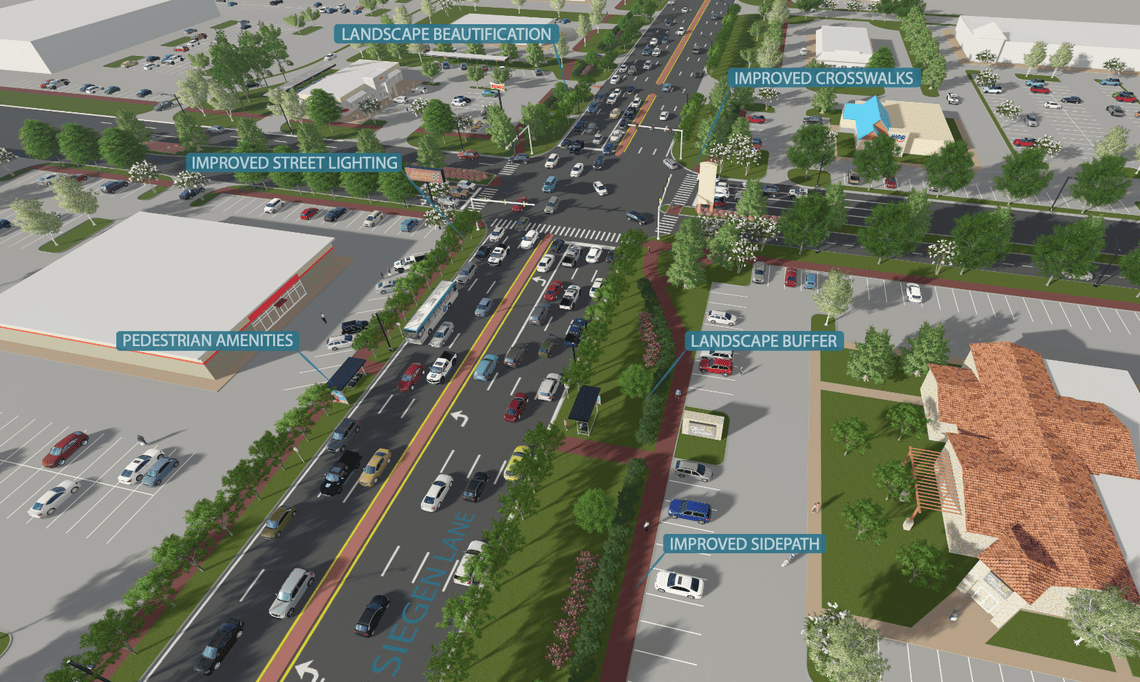
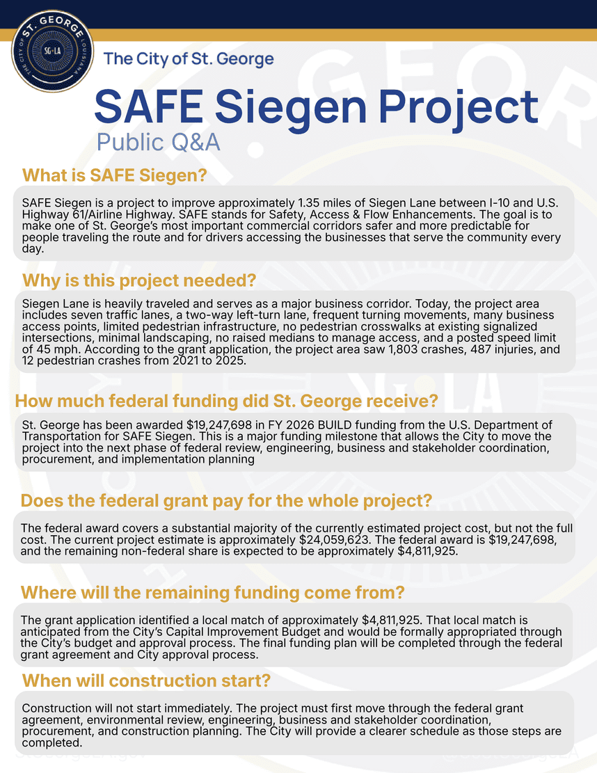
SAFE Siegen — Safety, Access & Flow Enhancements for Siegen Lane — is a corridor-improvement project focused on approximately 1.35 miles of Siegen Lane from I-10 to U.S. Highway 61/Airline Highway. The project is designed to improve safety, access, turning movements, pedestrian conditions, signal operations, lighting, and corridor predictability for drivers, businesses, customers, pedestrians, residents, workers, and first responders.
Siegen Lane is one of St. George’s most critical commercial corridors. It carries heavy daily traffic, serves hundreds of businesses, connects to I-10 and Airline Highway, and provides access for residents, customers, workers, pedestrians, delivery vehicles, and first responders.
Why is this project is needed?
The existing corridor experiences heavy traffic volumes, frequent turning movements, numerous business access points, minimal landscaping, and a posted speed limit of 45 mph. It also lacks adequate pedestrian infrastructure, including crosswalks at existing signalized intersections. As a result, pedestrians are currently crossing the corridor in unsafe conditions, underscoring the need for designated crosswalks and safer crossing infrastructure. According to the grant application, the project area recorded 1,803 crashes, 487 injuries, and 12 pedestrian crashes from 2021 to 2025.
Project Scope
Project Benefits
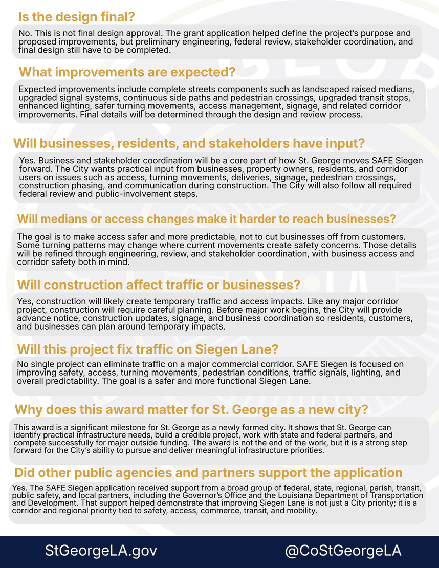
Final design will be developed through federal review, engineering, business and community coordination, and construction planning. Expected improvements include:
- Enhanced Access Management & Safety with Reduced Conflict Points
- Upgraded signal synchronization
- Continuous side paths and pedestrian crossings
- Enhanced lighting
- Traffic-calming measures
- Safer turning movements and reduced conflict points
- Improved signage
- Related corridor and drainage improvements
- Economic Revitalization
Together, these improvements will make traffic flow more predictable, helping reduce conflicts and crashes along the corridor.
Our Goal
With 1,200 eligible applications and $14.5 billion requested, this investment stands as one of the nation's largest awards in this funding cycle, reflecting the project's critical and urgent need to reduce crashes and make the corridor safer for everyone.
What Happens Next
- Federal grant agreement
- Environmental Document
- Engineering and final design
- Business and stakeholder coordination
- Funding-plan finalization
- Procurement and construction planning
- Public updates before major construction begins
Stay Informed
Get notified about the latest updates and new opportunities to engage.