
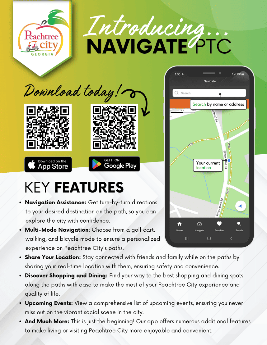
Path System Navigation App
Our city boasts a 100+ mile linear park also known as the multi-use path system however since its inception users have relied on a printed map to get around. Google map provides turn-by-turn directions on the path when in bicycle mode but does not provide instantaneous updates when a new path is opened, or changes need to be made. The implementation of a city-owned and operated navigation app will allow staff to make immediate updates, as needed.
Manténgase informado
Reciba notificaciones sobre los próximos compromisos y las últimas noticias relacionadas con el proyecto.
Yasmin Julio
City Clerk/ Director of Executive Services
Fases del proyecto
Creation of Navigation Application
Late June 2023
Internal Testing (Staff members only)
9 months
Request for Beta testers
2 weeks