Corners Connector Trail System
Corners Connector Trail System
The Peachtree Corners 2015 Livable Centers Initiative (LCI) study indicated walking and biking trails were the most desired public amenities.
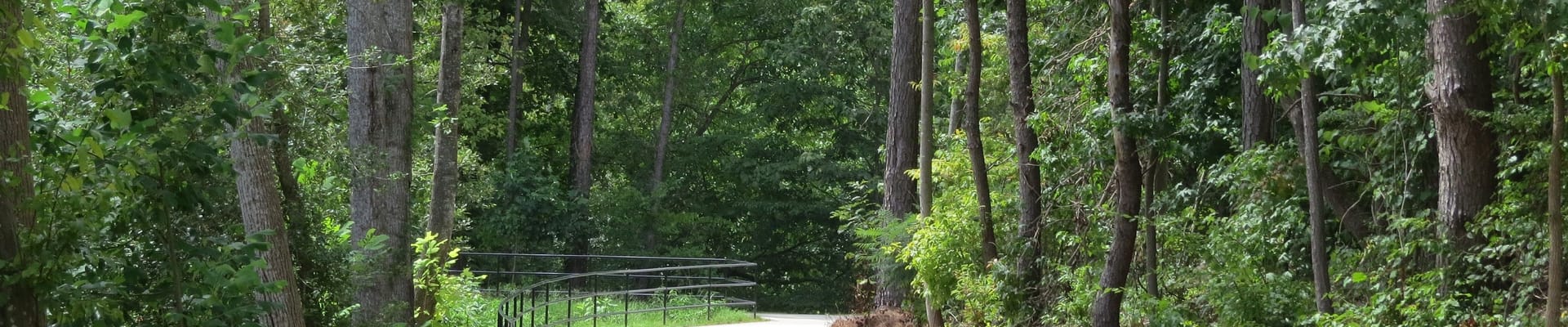
In response to this and to a 2016 workshop and online survey, the city has begun construction of an 11.5-mile multi-use trail system. The trail will crisscross through the community connecting residents with shops, restaurants and office parks.
The Corners Connector also includes the Crooked Creek Trail that will run along Crooked Creek from Peachtree Parkway to the Fulton County Line/
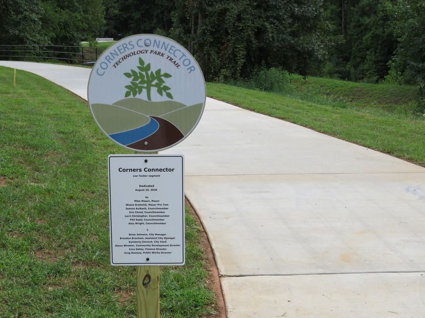
Trail sections include the Burdell Branch Trail, Crooked Creek Trail North, Crooked Creek Trail South, Farrell Creek Trail, Riverlands Path, Technology Park Trail, Town Center Trail, and pre-existing trails that were in place prior to the City's incorporation.
Stay Informed
Get notified on upcoming engagements and the latest project related news.