Commonly Asked Questions: Knoll Rd. Project
Commonly Asked Questions and Concerns
Knoll Road Multi-modal Trail
What is wrong with leaving Knoll Road the way it is
Knoll Road was designed and built to be a part of a multi-lane 15/501 bypass that would have ultimately gone through what is now Forrest Creek and Mid South in order to avoid the traffic circle. The wide lanes and center turn lane today allow for higher speeds, passing utilizing the center lane, parking in the center lane, and other dangerous and illegal behaviors. Reducing it to two lanes and repurposing the remaining roadbed into a separated trail will result in drivers treating Knoll as any other neighborhood road instead of as a thoroughfare or cut-through as it is used today.
Will the Longleaf signs, the pillars, the center crape myrtles, and other landscaping be torn up by this project?
The development signs, center landscaped dividers at Airport and Midland, and the pillars will not be effected by the project. There may be some disruption to the landscaping near the signs as the trail is transitioned to Airport and Midland, but will be replaced as needed. The irrigation and lanscaping along Knoll should not be effected in any significant way. Once the project is complete, landscaping will be replaced.
How will the redesigned road address sight line concerns raised by neighborhood residents?
The concerns raised by residents are being incorporated by the engineers in the design of the proposed project - including addressing site lines, intersections, traffic controls (signs, signals, and etc) and how the trail crosses side roads - to ensure that this project results in a safe road and trail for all users.
What does multi-modal mean?
A multi-modal trail accomodates multiple uses such as walking, jogging, and biking. Multi-modal trails are generally wider (8-10 feet wide) than a traditional sidewalk and may contain other design elements that make the trail more accessible for the various users.
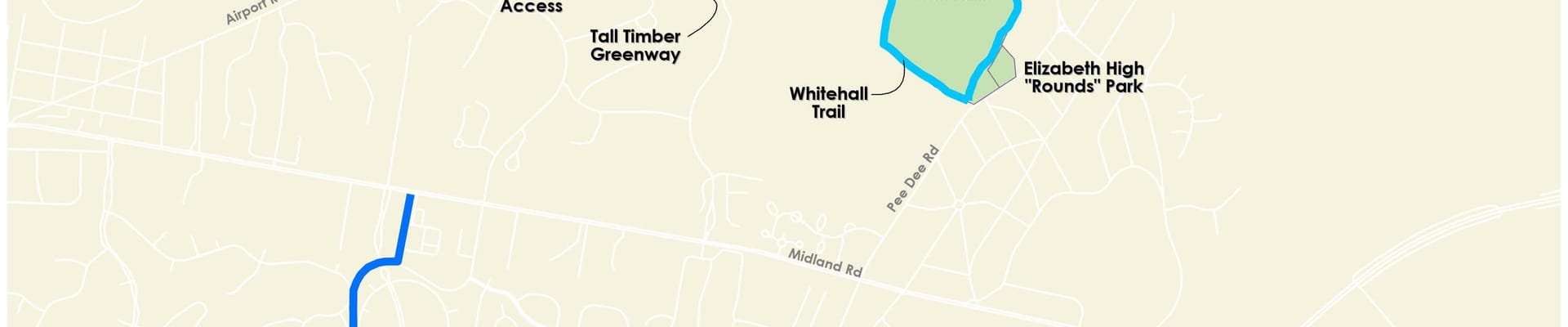
Why Knoll Rd?
The Town adopted a bicycle and pedestrian plan in October 2010. Approximately 400 residents provided input on this plan. The goal of the plan is to improve biking and walking as a safe option throughout Southern Pines - to parks, schools, and downtown, as well as nearby communities. The plan also noted that Southern Pines needs to serve the needs of all types of bicyclists: recreational riders, commuters, utilitarian riders, and experts.
The 2010 plan identified a trail/path project along Knoll Road, between Airport Rd. and Midland Rd. In 2014, the Town submitted this project to the N.C. Department of Transportation (NCDOT) for funding assistance through the Federal Transportation Alternative Program (TAP).
The project was delayed a number of years due to fiscal issues within NCDOT. When the project was re-authorized in 2021, the Town worked with a consulting engineer to re-confirm current cost estimates and scope. Two options emerged:
- a standalone multi-modal path outside the roadway estimated at $3.61 million
- a multi-modal path within the existing roadway estimated at $1.92 million
In July 2022, Council directed staff to request an 80% funding match from NCDOT based on the $1.92 million estimate for a "path within the existing roadway."
In June 2023, Council entered into an agreement with NCDOT for a multi-use trail project on Knoll Rd. for a cost up to $2.09 million. NCDOT will reimburse the Town a total of $1.672 million (or up to 80%), with the Town paying the balance.
Can this project be built somewhere else other than Knoll Rd?
A trail connection along Knoll Road was recommended in the 2010 plan since it's a logical and efficient connection based on the Town's existing greenways and trails.
Knoll Road is the only artery that can connect the trails in the northern part of Southern Pines with those in the south, which currently terminate on S. Knoll Rd at Midland Road. All other options to connect the trail system would cost much more to design and complete.
The NCDOT agreement with the Town is for Knoll Road only. The agreement does not authorize the scope to be changed to a different location in Southern Pines.
We use the middle lane to go around walkers, joggers and bikers. If the lane is removed, won't that mean more accidents?
The purpose of this project is to safely separate walkers, joggers, and bikers from vehicles. This will eliminate the need for vehicles to "go around" them.
If the middle turn lane were removed from Knoll Rd, where would landscapers park vehicles & trailers while working in the area?
Parking in the middle lane is both unsafe and illegal. Landscaping vendors and others who now utilize the middle lane will need to find areas where they can pull to the side whether on Knoll or other roads and utilize safety cones and traffic guides as is done in other areas of the Town.
Isn't the speed limit on Knoll Rd too high to have a trail like this?
The intent is to redesign the roadway so that the posted speed can be reduced from 40 MPH to 35 MPH. This redesign and reduction in posted speed, combined with the separatation of vehicles from walkers and bikers, will provide safer conditions for all.
Studies show that drivers naturally travel slower when lanes are narrow or when the roadway physically appears narrower, i.e. two opposing lanes of traffic vs. the additional center turn lane.
How is the trail going to be designed to ensure the safety of all users?
The design will be carefully considered to minimize conflicts between vehicles and between vehicles and trail users. This will include safety treatments at crosswalks so that users and vehicles are able to both use intersections safely.
The intersections of Knoll Rd and the neighborhood entrances, as well as the connection across Midland Rd, will be an area of special emphasis in the design of the trail. Traffic controls will be integral to the design.
Why is this not planned as a sidewalk?
There are significant design challenges with installing a sidewalk or trail to either side of Knoll Rd. In many places, the land drops off or rises significantly. Installing a trail would require considerable engineering and structural work, the would encroach on properties and change the aesthetic. This work would nearly double the project cost, which has not been authorized by NCDOT or allocated by the Town.
Additionaly, NCDOT has specifically authorized this as a "multi modal" project. A pedestrian sidewalk does not meet the agreement that the Town has executed with NCDOT.
The Town estimates that extending sidewalks with the accompanying engineering work required to build up certain areas, relocated retaining walls in certain areas, and etc. would be $3.5M.
Has the Town Council approved the project?
As of early 2024, the Town Council has advanced some aspects of the project:
Council directed staff to request an 80% funding match from NCDOT based on the $1.92 million estimate for a "path within the existing roadway." (July 2022)
Council entered into an agreement with NCDOT for a multi-use trail project up to $2.09 million. NCDOT will reimburse the Town a total of $1.672 million (or up to 80%), with the Town paying the balance. (June 2023)
The Council will continue to review and make decisions about future phases of the project, i.e. the design, construction contract, and similar.
Stay Informed
Get notified on upcoming engagements and the latest project related news.