
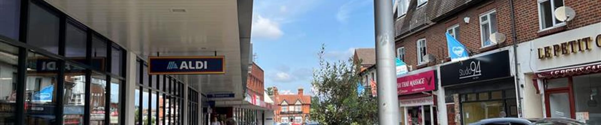
Area surrounding Bridge Street (Area 1)
View the draft proposals presented at stage 2 for the area surrounding the Bridge Street
Walton Local Street Improvements
Area surrounding Bridge Street
Bridge Street is the key commercial street in the zone and includes several business establishments.
The feedback from the early engagement (stage one) on the area surrounding Bridge Street reported issues of narrow and poor quality pavement, parking on double yellows, insufficient public transport and lack of crossing points. Following this feedback, proposals have been developed to make it more pedestrian friendly, safer and easier to cross the roads, improve the public realm, and generally make it a more attractive place to dwell and spend time in the local community.
Draft design has been developed for this location and can be viewed via the plans provided below.
Proposals include:
- Provision of pedestrian crossings to improve safety and provision of wayfinding signs to key locations and Thames River Path.
- Realignment of the kerb lines and addition of tactile paving and dropped kerbs as required.
- Dangerous parking at the junction of Bridge Street / Thames Street / Mayo Street is proposed to be reallocated at appropriate location near the junction to improve safety. The existing footway will be resurfaced and footway buildouts are proposed to be extended to tighten the junction bell mouth. This buildout will provide space for public activity, planting and wayfinding signs to improve public realm in the area.
- Reflective bollards are proposed near the bus stop on Bridge Street to avoid vehicles driving or parking on the footway near the bus stop.
- Reflective bollards are also proposed on footway at the junction of Bridge Street / Manor Road / River Mount to improve road safety.
- 20 mph zone, please see the 20mph zone tile for additional information.
Please provide your feedback on the proposals via our survey.
The proposals for area surrounding Bridge Street can be viewed below as pdf files below
Discover more

Stage 3 Engagement Report
Read our engagement stage 3 report which describes the engagement process and summarises responses received
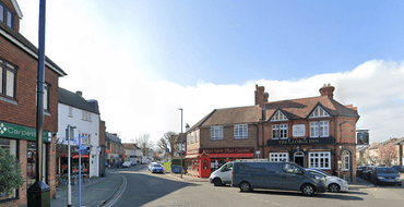
You Said, We Did
View a list of the key changes compared to the previous stage of engagement
Parking in Walton-on-Thames
View information on parking in the Walton-on-Thames LSI
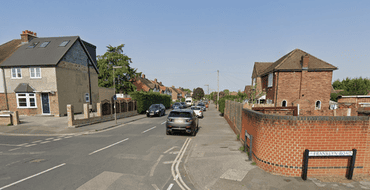
Felix Road and Franklyn Road (Area 3)
View the updated design proposals for Felix Road, Franklyn Road and surrounding roads
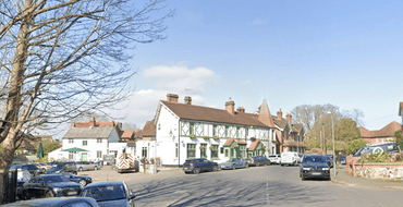
Manor Road and surrounding roads (Area 2)
View the updated design proposals for Manor Road and surrounding roads
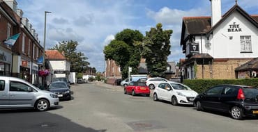
Bridge Street and surrounding roads (Area 1)
View the updated design proposals for Bridge Street and surrounding roads
Area wide measures
Find out more and give your feedback on the area wide measures

Stage 2 Engagement Report
Read our engagement stage 2 report below which describes the engagement process and summarises the responses received during the second stage of engagement for the Walton-on-Thames Local Street Improv
Survey
This survey was used for engagement stage 2 and is now closed
Stay Informed
Follow our projects to get notified of upcoming engagements and the latest project related news.