Leeds City Council
Projects
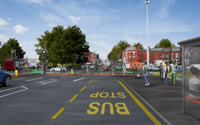
A58 Improvements
We have ambitious plans for significant improvements to the A58 Roundhay Road and Barrack Road. This scheme aims to make it safer for all types of road user, especially pedestrians and people cycling, whilst delivering more reliable and efficient bus services.
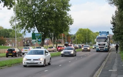
A6110 Elland Road to Churwell
We have ambitious plans to deliver improvements on the A6110 Outer Ring Road. Reducing traffic congestion to make it safer to walk and cycle in the area. We also want to make bus services quicker and more reliable to provide a viable alternative to the private vehicle.
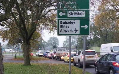
A6120 Horsforth to Rodley
We have an ambitious plan to improve the A6120 Leeds Outer Ring Road in West Leeds. We want to increase connectivity and travel choices for and between local communities in West Leeds. The improvements will also maximise the benefits from other, separately funded investments at Dawsons Corner and Fink Hill. Let us know what you think of our proposals.
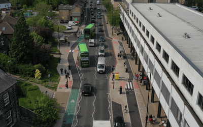
A660 Leeds
The final phase of construction is underway - creating improved cycle links, better spaces for pedestrians and priority measures for buses along the A660.

Access to schools package
We have plans to improve access to schools in Middleton and Halton Moor. View the proposals and have your say by 18 February.
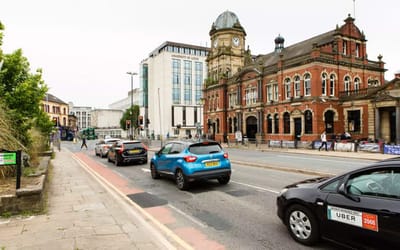
Adel to Leeds Route
Our proposals to deliver improvements to the bus network between Adel and Leeds via Weetwood and Headingley.
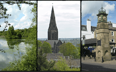
Adel & Wharfedale, Guiseley & Rawdon, Horsforth, Otley & Yeadon
Consultation ended
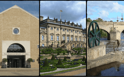
Alwoodley, Harewood, Wetherby
Consultation ended
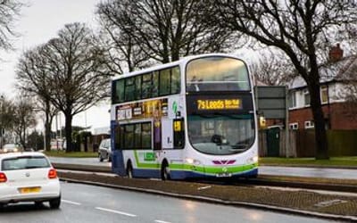
Alwoodley to Leeds route
We have ambitious plans to deliver improvements to the bus network between Alwoodley and Leeds and to deliver a new Park & Ride site at Alwoodley Gates. Have your say on our proposals.
Ardsley & Robin Hood, Morley North, Morley South, Rothwell
Consultation ended
Armley, Bramley & Stanningley, Kirkstall
Consultation ended
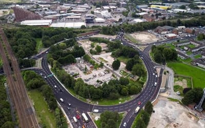
Armley Gyratory
Highways and pedestrian access improvements were completed on the Armley Gyratory in the summer of 2025. It is a major junction on the Inner Ring Road and a major entry/exit point for traffic entering the city.
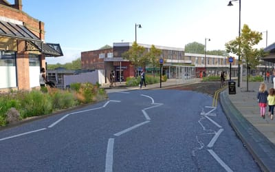
Armley Town Street
We are aiming to improve the safety and the design of Armley Town Street to make it work better for shoppers, pedestrians and bus users.
View the plans and let us know what you think, feedback before Thursday 22 August 2024.
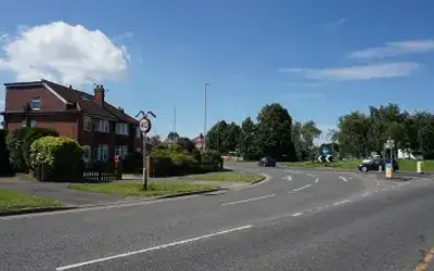
Barwick Road, Manston and the Poole Estate
We would like to hear your thoughts on proposals around Barwick Road, areas of Swarcliffe and Manston, and the Poole Estate.
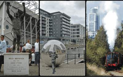
Beeston & Holbeck, Hunslet & Riverside, Middleton Park
Consultation ended
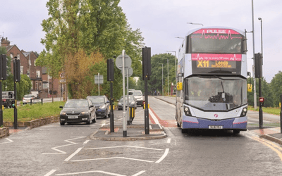
Bradford to Leeds route
The A647 Stanningley Road bus infrastructure improvements to ease congestion in peak times along the Leeds to Bradford route completed in 2022.
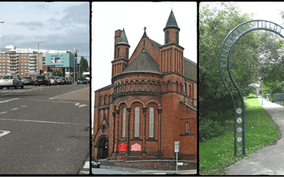
Burmantofts & Richmond Hill, Gipton & Harehills, Killingbeck & Seacroft
Tell us about any travel or safety issues you face in your local area. This will help us prioritise improvements when funding becomes available.
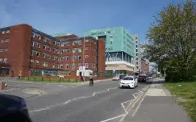
Burmantofts Street and Beckett Street: City Centre to St James's Hospital
We want to hear your thoughts on proposals along Burmantofts Street and Beckett Street, which connects the city centre to St James's Hospital and the neighbouring areas of Burmantofts, Lincoln Green, Richmond Hill and Harehills.
Calverley & Farsley, Farnley & Wortley, Pudsey
Tell us about any travel or safety issues you face in your local area. This will help us prioritise improvements when funding becomes available.
Chapel Allerton, Moortown, Roundhay
Consultation ended
Community Trails
Have your say on community trails in Burmantofts, Harehills and Richmond Hill

Connecting Leeds
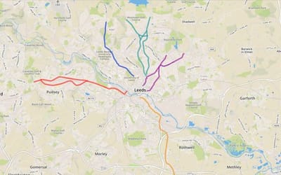
We are delivering improvements to the bus, pedestrian and cycle network, to give people real travel choices by making active travel more convenient and attractive.
Connecting Leeds
Use the Connecting Leeds map to highlight issues you want to see addressed.
Connecting West Leeds Phase 2
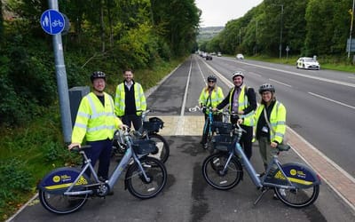
Construction has completed on improvements to the A6120 Leeds Outer Ring Road (ORR) between Horsforth roundabout and Dawsons Corner. Plans for Calverley Lane footbridge are under review.
Council Housing Growth / Leeds City Council
Leeds City Council is working to deliver new affordable quality homes over the next 3 years to meet increasing need and demand in the city.
This page will be utilised to consult with the general public on consultations for schemes.
All our homes will offer high standards for design quality, space and energy efficiency and where possible will include accessible accommodation, capable of adaptations to suits people's needs.
Covid-19 Transport Plans
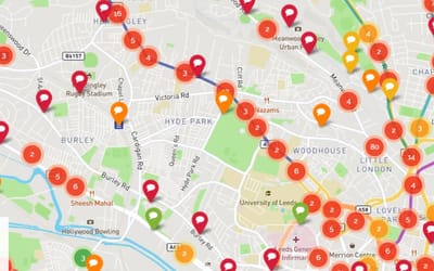
Connecting Leeds. Help us create better spaces for walking and cycling in light of the Covid-19 pandemic.
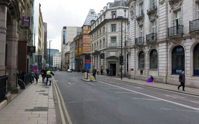
Creating more pedestrian space in busy public places
Help us identify a place in your local area which needs more footway space to support social distancing.
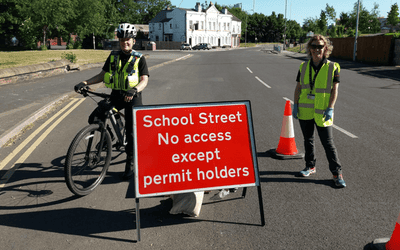
Creating more space for pedestrians and cyclists outside schools
Have your say to to help address air quality, promote active travel and maintain social distancing.
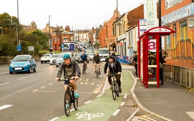
Creating more space to cycle for travel and daily exercise
Your ideas and suggestions are welcome and we will keep updating the site to show where proposals are being brought forward to get your feedback.
Crossgates & Whinmoor, Garforth, Kippax & Methley, Temple Newsam
Consultation ended
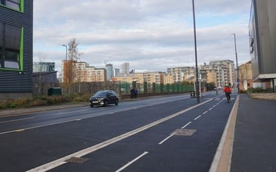
Crown Point Road Highway Improvements
Completed in 2023 the Crown Point Bridge Gateway scheme adds over 1km of protected cycle track over the bridge, Crown Point Road and Black Bull Street.
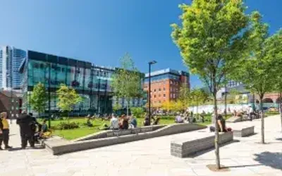
Customer Transformation
Have your voice heard as we look to improve customer experience at the Council over the next few years. Our Customer Vision: "We will make it easy for all customers to interact with us by delivering an excellent customer experience."
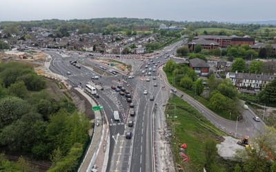
Dawsons Corner
Major changes are happening to one of Leeds busiest junctions.
Works underway with completion by early 2027. Please find details on the plans, timescales, and what to expect during construction.
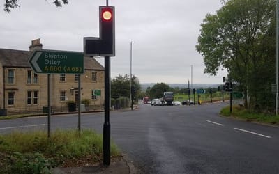
Dyneley Arms
Improvements to reduce delays at the Dyneley Arms junction of the A660 Leeds Road and A658 Pool Bank completed in 2023.
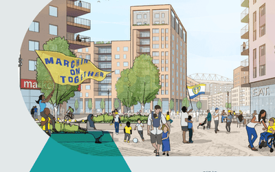
Elland Road Neighbourhood
Leeds City Council's proposals to develop land in the vicinity of Elland Road. Find out more and have your say today.
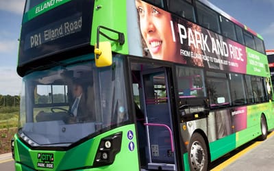
Elland Road Park & Ride
Our plans to increase the number of car parking spaces and frequency of bus services into Leeds city centre
Farnley Pride in Place
This is the default template.
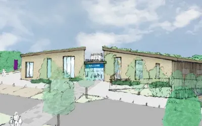
Fearnville Wellbeing Centre
Leeds City Council is developing proposals to replace the existing leisure centre at Fearnville. The scheme will include a new wellbeing centre containing swimming and changing facilities alongside a fitness gym, sports hall, studios, café, and an indoor adventure play facility. The development will provide a host of benefits to the local community. Share your views now!
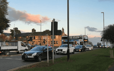
Fink Hill
The Fink Hill junction, situated on the A6120 Ring Road to the northwest of Leeds, currently suffers from severe congestion and lacks adequate pedestrian crossing facilities. Share your views on our proposals to improve the junction, reduce delays and enhance pedestrian safety.
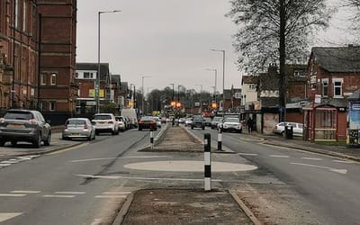
Harehills Road
Harehills Road has undergone major improvements in the last five years to reduce the number of collisions and make it safer for all road users. We're looking to make further changes and would like your feedback.
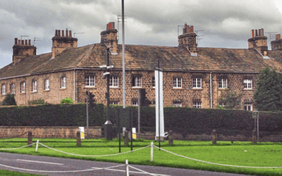
Harewood Junction
We have ambitious plans to deliver improvements to the bus network along the A61 North Harrogate Road and A659 The Avenue.
Our goal is to give people real travel choices by making bus services quicker and more reliable, whilst also making local journeys on foot and by bike convenient and attractive.
Headingley & Hyde Park, Little London & Woodhouse, Weetwood
Consultation ended
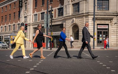
Headrow, Park Row and Infirmary Street Gateway Completion
Improvements completed in 2021. Bus gates, wider pavements, diagonal crossings and safe cycle lanes were included in the delivery of this scheme.

Heart of Holbeck

Housing Leeds Feedback
Take a look at our consultations, and where there is a consultation open, let us know what you think. We also use this page to keep you updated on other ways residents influence what we do.
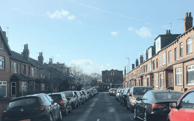
Hyde Park Street Parking
Leeds City Council is consulting on proposals to introduce resident permit parking throughout the Hyde Park area. The area of concern sits within the boundary of Burley Road, Cardigan Road, Victoria Road, Hyde Park Road and Woodsley Road. This consultation closes on 27 March 2023.
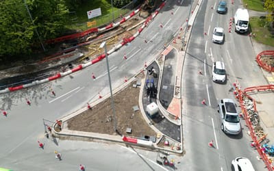
Lawnswood Roundabout
Transforming Lawnswood roundabout to improve safety for all road users. Please find details on the plans, timescales, and what to expect during these works. Completion planned for September 2026.
Leeds City Council Budget Consultation
Tell us what matters to you before the council agrees its budget for next year. Take part in our online consultation to help inform the council’s 2026/27 budget.
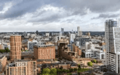
Leeds City Council Budget Consultation
Take part in our online consultation to help inform the council's 2025/26 budget.
Tell us what matters to you before the council agrees its budget for next year. We want to hear what you think our priorities should be and your ideas for how we can make savings so that we can keep delivering critical services and meet our legal requirement to set a balanced budget. Your views will help make sure that final decisions made are in the best interests of the city and the people who live, work, visit and study in Leeds.
The survey should take about 10 minutes to complete and closes at the end of Wednesday 8th January 2025.
Please carry out the survey by clicking on the tile below or on this link: Budget Consultation Survey, share with your friends, family and colleagues, and help influence the future of local services in Leeds. Thank you for taking part.

Leeds City Council Flood Resilience
Leeds City Council and partner organisations are working on a range of Flood Alleviation Schemes across the city region. Here you can have your say on new upcoming projects, keep up to date on ongoing projects and find out more about our completed projects.
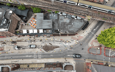
Leeds City Links
The Leeds City Links scheme will deliver new cycle lanes that link up the existing network, wider pavements and better located pedestrian crossings, space for outside dining and greenery.
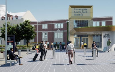
Leeds City Rail Station
Major highways and gateway works are currently transforming the area around Leeds City Station, with full completion expected in summer 2026. Find out more details about the works.
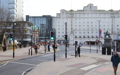
Leeds City Square
Leeds City Square has been transformed to make the area safer, more pedestrian-friendly environment for those walking, cycling and using public transport. It has been closed to general traffic since 2022.
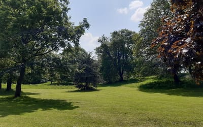
Leeds Community Parks
There are 65 community parks in Leeds which are managed by Leeds City Council.
We are currently working to develop a plan for each of these parks based on the thoughts and opinions of local people to ensure they are the best they can be. The plan will be the vision for if and when funding becomes available.
This survey is your chance to tell us what you think about your park – we look forward to hearing from you !
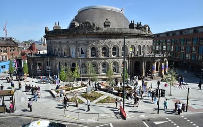
Leeds Corn Exchange Scheme
Works completed in 2022. The area outside the Corn Exchange now benefits from reduced traffic and priority for buses, cycle lanes and a new public park.
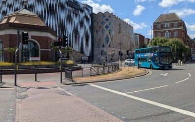
Leeds Eastside
This is the default template.

Leeds Highways
Our team works with communities and partners to make Leeds roads safer. Our work includes engineering projects and safety education, aligning with Leeds City Council's Vision Zero. Your input on current proposals helps build a safer city.
Leeds Local Plan
Scoping Consultation for the Leeds Local Plan is now live. You can submit your comments to us between Wednesday 24th June and Wednesday 5th August 2026.
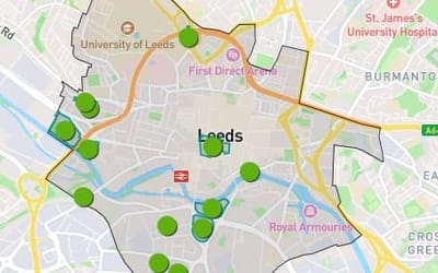
Leeds Local Plan City Centre
Please click here to view the potential sites in City Centre
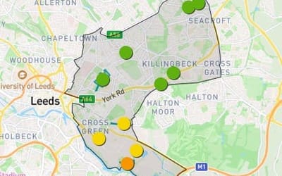
Leeds Local Plan Inner East
Please click here to view the potential sites in Inner East
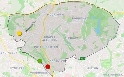
Leeds Local Plan Inner North East
Please click here to view the potential sites in Inner North East
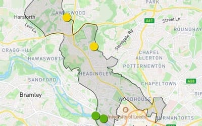
Leeds Local Plan Inner North West
Please click here to view the potential sites in Inner North West
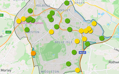
Leeds Local Plan Inner South
Please click here to view the potential sites in Inner South
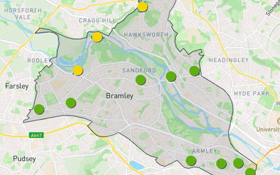
Leeds Local Plan Inner West
Please click here to view the potential sites in Inner West
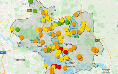
Leeds Local Plan Outer East
Please click here to view the potential sites in Outer East
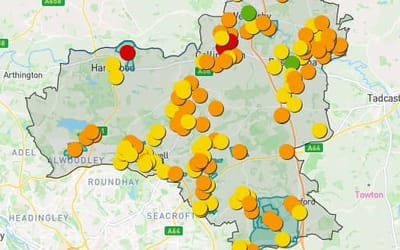
Leeds Local Plan Outer North East
Please click here to view the potential sites in Outer North East
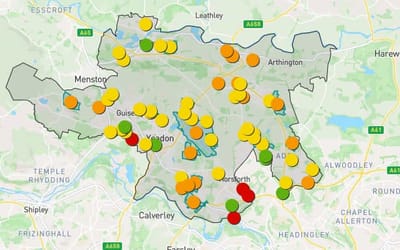
Leeds Local Plan Outer North West
Please click here to view the potential sites in Outer North West
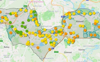
Leeds Local Plan Outer South
Please click here to view the potential sites in Outer South
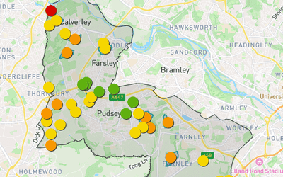
Leeds Local Plan Outer West
Please click here to view the potential sites in Outer West
Leeds Local Plan - Sites
Click here to view the potential sites or submit a new site
Leeds Parks & Green Spaces
Your voice matters! 💬 This is your chance to help shape the future of Leeds’ parks and green spaces.
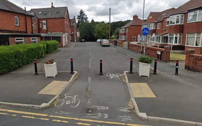
Leeds Residential Streets
Learn more about the need for quieter and safer residential streets in Leeds.
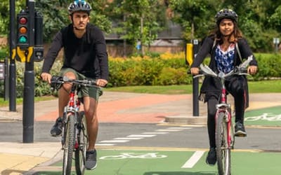
Leeds Safer Roads Vision Zero
Share your views on the draft Leeds Safer Roads Vision Zero 2040 strategy, which sets out to improve road safety and eliminate road deaths and serious injuries in Leeds.
Leeds Streets for All
Welcome to our Leeds Streets for All consultation. We want your input on any issues related to travel in your community. This could be about how you access public transport facilities, whether you feel unsafe walking, wheeling or cycling, the attractiveness of a street, or where traffic and speeding are causing issues.
Leeds Transport Strategy
Consultation for the draft Connecting Leeds Transport Strategy was completed in 2021.
Leeds West Levelling up
Round 2 of the Levelling Up Fund has recently been launched. We would like to start engaging on outline project ideas and this is an opportunity for you to have your say on our initial bid proposals for the Leeds West Constituency.
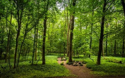
Leeds Woodland Creation
Leeds City Council Parks and Countryside Service are planting 5.8 million trees across Leeds over 25 years to combat the climate and biodiversity emergencies and contribute to the government’s targets to increase tree planting rates across England by 30,000 hectares per year by March 2025. Have your say now!
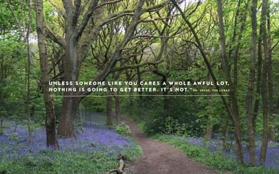
Leeds Woodland Creation 2023
In 2019, Leeds declared a climate emergency. To combat this, we are planting 5.8 million trees over 25 years, 50 hectares of land every year. Have your say on the 2023/2024 tree planting season on our Commonplace.
Leeds Woodland Creation 2024
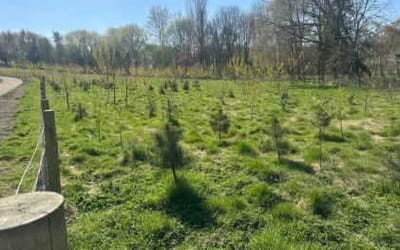
In 2019, Leeds declared a climate emergency. To combat this, we are planting 5.8 million trees over 25 years, 50 hectares of land every year. Have your say now, the consultation will end on 16/09/2024.
Leeds Woodland Creation 2025
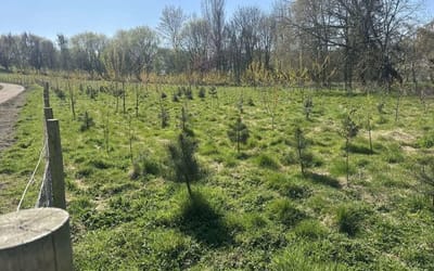
Consultation is now open for Woodland Creation sites to be considered for 2025/26 planting. You can have your say until 07/09/2025.
Leeds Woodland Creation 2026
Consultation is now open for Woodland Creation sites to be considered for 2026/27 planting. You can have your say until 28/08/2026.

Leeds Workplace Parking
Leeds City Council is consulting on proposals to introduce a Workplace Parking Levy in the city centre.
Limewood Road
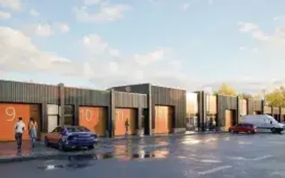
Leeds City Council is proposing to develop a light industrial estate and improved greenspace at Limewood Road and we would like to hear what you think about the proposals.

Love Chapel Allerton
Love Chapel Allerton is part of the Love Leeds programme, bringing together residents, communities, partners and council services to help shape and improve the neighbourhood.

Love Headingley & Hyde Park
Love Headingley and Hyde Park is part of the Love Leeds programme, bringing together residents, communities, partners and council services to help shape and improve the neighbourhood.

Love Leeds
Love Leeds is a major new programme to improve the look and feel of neighbourhoods in all areas of Leeds.

Love Little London and Woodhouse
Love Little London and Woodhouse is part of the Love Leeds programme, bringing together residents, communities, partners and council services to help shape and improve the neighbourhood.

Love Moortown
Love Moortown is part of the Love Leeds programme, bringing together residents, communities, partners and council services to help shape and improve the neighbourhood.
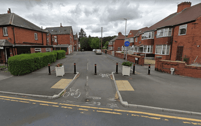
Maintaining quieter residential streets to support safer walking/cycling
Your ideas and suggestions are welcome and we will keep updating the site to show where proposals are being brought forward to get your feedback.
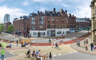
Meadow Lane Improvements
Work here is complete. Wider pavements, new cycle lanes and enhanced public spaces have been delivered as part of the scheme.
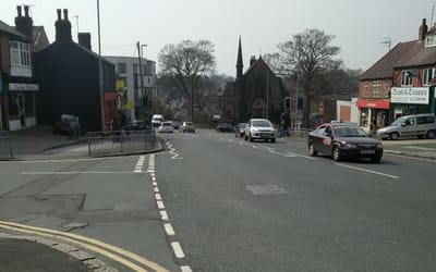
Meanwood Junction
Major changes are proposed to the junction of Stonegate and Meanwood, which looks to improve safety for pedestrians crossing the roads, restricting vehicle movements and introducing new segregated cycling lanes. The closing date for feedback is Monday 14 February.
Middleton Pride in Place
This is the default template.
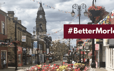
Morley Town Deal
In March 2021 Morley was allocated £24.3 million from the government’s Towns Fund to deliver our Town Investment Plan to support long term economic growth and the wellbeing of people across Morley. We will use this page to involve local people in project design, share information about the proposals, and tell you about new opportunities to get involved.
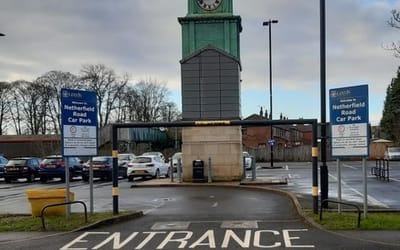
Netherfield Road Car Park
Share your views on our proposals include creating up to 189 extra spaces, including improved accessibility and new electric vehicle charging points. This consultation closes on Tuesday 30 November 2021.
New Briggate High Street Heritage Action Zone
New Briggate is being transformed as part of a three-year regeneration project. Here you can find more information on this project, and you will be able to get involved at different stages of the project.
Find out more, and get involved by sharing your stories!
Get involved, and find out more!
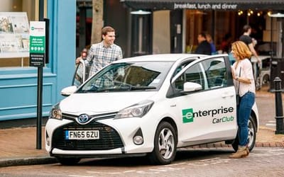
New Leeds Car Club Locations
In response to Covid-19 Connecting Leeds are committed to improving provision for active travel and social distancing. We recognise there are journeys you may not be able to make on foot or bicycle, so we are exploring the expansion of the local car club. Improving the availability of cars across the city will allow people to use a vehicle when they need one without owning one as well as reducing pressure on public transport.
Enterprise Car Club already operates extensively in Leeds City Centre and in some other areas of Leeds. Please help us identify new vehicle locations.
Oakwood to Leeds route
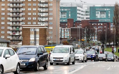
We have ambitious plans to deliver improvements to the bus network between Oakwood, Roundhay and Leeds, through Harehills, Sheepscar and Burmantofts. Have your say on improvements.
Otley Bridge
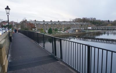
Otley footbridge was demolished and replaced with a modern footway to ensure a safe crossing for the public. The new footway opened in November 2025.
Our Spaces
Join the conversation and have your say on our draft strategy for the transformation of public spaces in Leeds city centre.
Parking Survey
Leeds City Council is seeking your views on parking in your area. Many streets were not designed for today’s levels of car ownership, which can lead to parking problems.
While not all issues can be resolved through restrictions, they play an important role in managing access and safety. Your feedback will help us decide if any future parking measures are needed.
Have your say by 09 July.
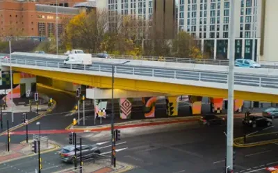
Regent Street Flyover
Regent Street Flyover was replaced over two years and completed in 2022.
Rethink Team
Contained within this project page are all the participant feedback surveys relating to the Rethink Team's universal activities (i.e. LPM workshops, Rethink Forums and Rethink Spaces)
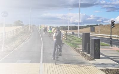
Scotland Lane and Whitehouse Lane Sustainable Transport Improvements
Leeds City Council is asking for views and comments on proposals to improve sustainable transport connections along Whitehouse Lane and Scotland Lane.
The new proposals would support better connections for public transport and active travel between the proposed parkway rail station, the proposed North West Leeds Employment Hub, Leeds Bradford Airport, and surrounding communities.
Have your say on our proposals to improve cycling and walking links in the area.
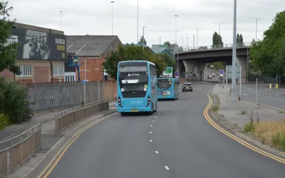
South Accommodation Road
We’re proposing changes to South Accommodation Road to improve bus journey times and reduce congestion.

Starship Leeds
You may have seen some peculiar robots on the streets of Adel and Tinshill in Leeds. We are trying to reduce the number of short journeys made by car, including those made by delivery vehicles. This pilot, ran in partnership with Starship Technologies and Co-op Food, is aimed at providing a zero-carbon alternative to grocery deliveries to some of Leeds' residents.
As a local resident we want to hear your thoughts on the Starship robots. You can find out more about why we're trialling the scheme below, whilst also providing feedback on the robots.
The trial will run from 30th November 2022 until 28 February 2023 but may be extended if successful.
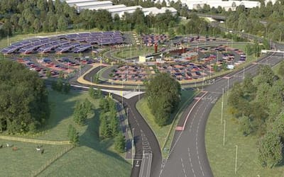
Stourton Park and Ride
Stourton park and ride has been made possible by funds obtained from the Department for Transport to develop Leeds’ Public Transport Investment Programme, together with a grant that was awarded by the European Regional Development Fund to create a smart energy grid on site using sustainable technology. The site will be the first fully solar-powered park and ride site in the UK and will be served by an electric bus fleet that will run daily.
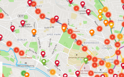
Suggest a Scheme - Leeds
Whether it's a dangerous pinch point that needs addressing, a new cycle route, or inspiration for creating quieter residential streets, we want to hear your ideas.
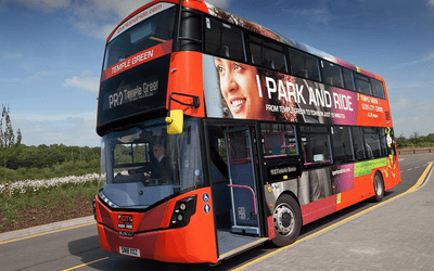
Temple Green Park & Ride
Temple Green Park & Ride opened in 2017 and has been hugely popular with those who use it. Learn more about our plans to expand the site and then let us know what you think.
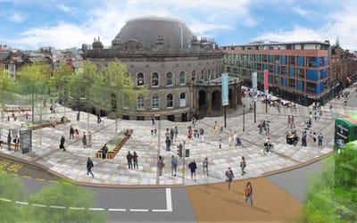
Transforming our City Centre
We have identified areas where investment in roads, footways and public spaces will have benefits for everyone.

Travel to Work Survey
The travel to work survey is an annual survey that helps us to identify commuting trends and helps us to inform future transport investment decisions.

Tree Removals in Leeds
Section 115 of the Environment Act 2021 requires local highway authorities in England to consult before felling street trees, by amending the Highways Act 1980.
This area contains information on current and past consultations under the Environmental Act.
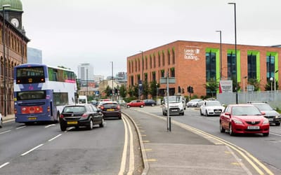
Wakefield to Leeds Route
Our proposals to deliver improvements to the bus network between Wakefield and Leeds via Hunslet.
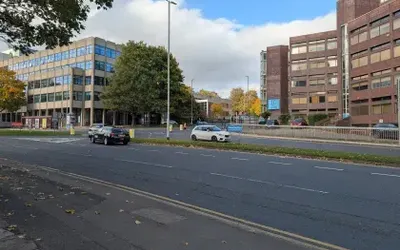
Westgate Connector
We’re seeking your feedback on our proposals for Burley Road to Westgate, which will improve walking and cycling facilities along the Burley Street, Park Lane and Westgate route, which connects the city centre to Burley, Hyde Park, and surrounding areas.
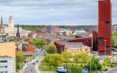
Woodhouse Lane Gateway
View detailed plans and feed back on the second round of consultation.
Opportunities to Have Your Say
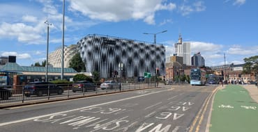
Project overview and survey
Let us know which improvements you would like to see on the eastern side of Leeds city centre.
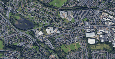
Interactive Farnley East Pride in Place Boundary Map
Place a pin on this map and tell us what you would like to see in Farnley East
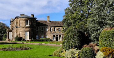
Complete our Online Survey
Share your view about Farnley East and you would spend £20 million on to improve your neighbourhood

Let's Talk Safeguarding: What Does It Mean to You?
Safeguarding is about protecting children and adults at risk from harm
Have your say
Middleton has been selected to be part of the government's long term investment program ‘Pride in Place’
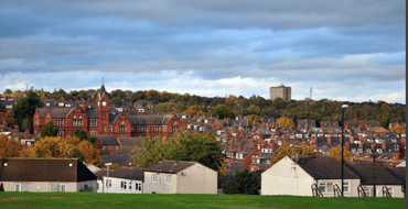
Your views on temporary moves during major adaptations
Help shape our approach to temporary moves when major adaptations are needed
Stonegate Road King Alfred's Playing Fields
Proposal for outdoor gym equipment

Sissons and Throstles Accessible Survey Map
Sissons and Throstles accessible map
Horsforth Hall Park Playground
Full playground refurbishment.
Have your say by 07/06/2026.
Ambertons
Have your say on the Ambertons.

Rethink – Trinity University, Social Work Masters, Skills Day Feedback
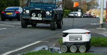
Co-op Food Survey
Find out where the robots can deliver Co-op Food groceries in Leeds and have your say on the introduction of the robots.

Uber Eats Service Area
Find out where the robots can deliver from Uber Eats

Inner South
Beeston, Holbeck, Hunslet & Riverside, Middleton Park

Outer West
Calverley, Farsley, Farnley, Wortley & Pudsey
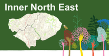
Inner North East
Chapel Allerton, Moortown, Roundhay
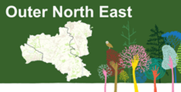
Outer North East
Alwoodley, Harewood, Wetherby

Inner East
Burmantofts, Richmond Hill, Gipton, Harehills, Killingbeck, Seacroft
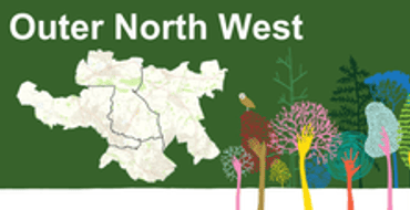
Outer North West
Adel, Wharfedale, Guiseley, Rawdon, Horsforth, Otley, Yeadon

Inner North West
Headingley, Hyde Park, Woodhouse, Weetwood

Outer East
Cross Gates, Whinmoor, Garforth, Swillington, Kippax, Methley, Temple Newsam
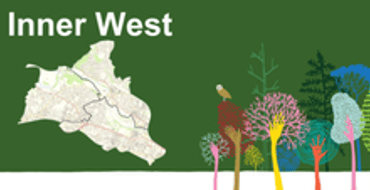
Inner West
Armley, Bramley, Stanningley, Kirkstall

Outer South
Ardsley, Robin Hood, Morley, Rothwell
Family Hub Implementation Session - Participant Feedback
A page for participants to share their views about the Family Hub Implementation Session they have just completed.

Family Led Practice - East Away Day Participant's Feedback
Please could you take a few moments and give us

Leeds Practice Model Workshops
An opportunity for Leeds Practice Model Workshop participants to give us their feedback on how the session went for them.

Rethink Space
An opportunity for Rethink Space participants to give their feedback on how they feel the session went.

Introduction to Rethink Formulation
An opportunity for Introduction to Rethink Forum participants to give us their feedback on how the session went for them.

Formulation Skills
An opportunity for Formulation Skills Forum participants to give us their feedback on how the session went for them.
Inclusive Design Panel
Have your say on how Leeds City Council and partners can deliver a more inclusive and accessible environment for Holbeck. Have your say!

Comment on cycling
Tell us about your experience of cycling in the area. Where does it feel safe/unsafe? What could be improved?
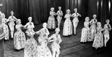
Hidden Histories of New Briggate
Find out more about the Hidden Histories project and share your stories with us.
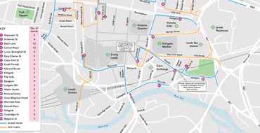
City centre traffic restrictions and parking for blue badge holders
Find out traffic flow and parking restrictions that have been introduced in the city centre.
Frequently Asked Questions
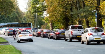
View frequently asked questions about the scheme.
Scheme overview
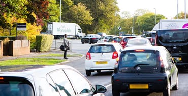
Details about the changes being made and importance of safety.
Consultation feedback
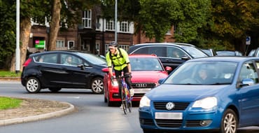
Lawnswood Roundabout scheme design changes from consultation.
Transforming Leeds City Rail Station
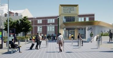
Learn more about our improvement works, and what they will look like on completion.