
Welcome to Laramie's Zencity Engage Hub
Zencity Engage is our community's new hub to share, discuss, and collaborate on creating solutions for important issues, challenges, and opportunities in our community. Thanks for taking part, joining with us, and making your voice heard.

Laramie's Downtown Development Plan - Completed [Adopted 2026]
The Downtown Development Plan blends Laramie’s history, culture, and community spirit with new ideas to support vibrant streets, connected spaces, and long-term economic vitality.

City of Laramie Comprehensive Plan
Explore the City of Laramie Comprehensive Plan, which guides future growth, land use, housing, transportation, economic development, and community priorities.

1st Street Parking & ADA Improvements
Help shape the future of downtown Laramie! Join the conversation as we reimagine parking, improve accessibility, and create a more welcoming space near Depot Park—connecting community priorities with thoughtful, sustainable design.

Reconnect West Laramie - Completed [Adopted in 2026]
A community and data informed plan to strengthen transportation connections between Western and Eastern Laramie, creating safer, more accessible, and equitable pathways for all while fostering economic vitality and community growth.

10-Year Strategic Public Transportation Study - Completed [Adopted in 2026]
Help shape the future of how Laramie moves! Join us in reimagining a seamless, sustainable public transportation system that connects our community, supports economic growth, and ensures access for everyone, from young families to our most vulnerable neighbors.
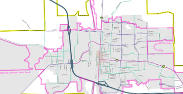
Functional Classification Map [Published 2025]
Explore the WYDOT Functional Classification Map for Laramie, which identifies roadways by their transportation function.
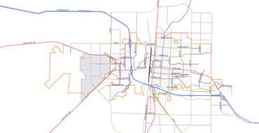
Major Street Plan - Completed [Adopted 2024]
Explore the 2024 Laramie and Albany County Major Street Plan, identifying existing and future arterial, collector, and interstate routes to guide transportation planning and roadway improvements.
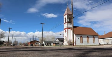
West Side Vision Study - Completed 2024
Explore Laramie's West Side Vision Study, including neighborhood planning, community engagement, redevelopment opportunities, and the final report.
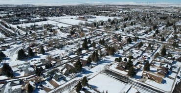
WCDA Statewide Housing Needs Assessment [Published 2024]
Explore the 2024 Wyoming Statewide Housing Needs Assessment, examining housing affordability, availability, supply, demographic trends, population growth, and economic factors affecting communities ac
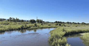
Laramie Area Growth Plan - Completed [Adopted 2023]
Explore the 2023 Laramie Growth Area Plan, a joint City of Laramie and Albany County guide for future land use, housing, infrastructure, transportation, utilities, and economic development.

Casper Aquifer Protection Plan - Completed [Update Adopted 2023]
Since 2002, the community has relied on the Casper Aquifer Protection Plan and accompanying ordinance to protect our water supply. View the various related resources below to learn more.
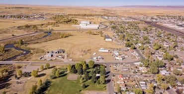
West Side Brownfield Investment Initiative - Completed 2020
Explore the 2022 West Side Laramie Conceptual Redevelopment Plan, developed with EPA Brownfields Technical Assistance to guide future redevelopment of the former 4G Enterprise site.

Thrive Laramie - Completed [Adopted 2020]
Read the Thrive Laramie Community and Economic Development Action Strategy, a 10-year plan for Laramie, Wyoming focused on economic opportunity, housing, workforce development, and quality of life.
Albany County Septic Systems Impact Analysis [Published 2019]
Read the 2019 Albany County Septic System Impact Analysis examining onsite wastewater and septic system conditions, growth impacts, public health and environmental considerations, and infrastructure.
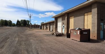
The North 4th Street Redevelopment Plan [Published 2019]
North 4th Street Redevelopment Plan outlining a vision for a walkable mixed-use district near LaBonte Park with housing, retail, streetscape improvements, and redevelopment strategies for City-owned p
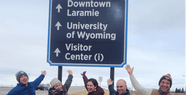
Laramie, WY Wayfinding Master Plan [Published 2018]
Laramie Wayfinding Master Plan outlining a community-wide signage and navigation system to connect visitors with local attractions, and destinations.
Albany County Housing Report [Published 2018]
Explore the Albany County Housing Report for data on housing affordability, rental and homeownership costs, housing demand, household income, housing stock, commuting, and workforce trends.
Wyoming Bicycle and Pedestrian System Report [Published 2018]
View the 2018 Wyoming Bicycle and Pedestrian Report, featuring information on bicycle and pedestrian transportation, safety, and connectivity.
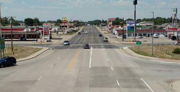
Snowy Range Rd/West Laramie Pedestrian/Bicycle Feasibility Study [Completed 2016]
Explore the City of Laramie's Snowy Range Road/West Laramie Pedestrian and Bicycle Feasibility Study, including proposed bike paths, pedestrian improvements, landscaping, and plans.
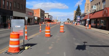
3, 2, 1... 3rd Street! Action Plan for Laramie, Wyoming [Published 2016]
An action plan for improving Laramie’s 3rd Street corridor with safer crossings, streetscape enhancements, lane and curb modifications, gateway treatments, and near- and long-te
Bill Nye Avenue West Corridor Study - Completed [Adopted 2016]
Explore the Bill Nye Avenue West Corridor Study for Laramie, Wyoming, including the adopted corridor plan, roadway alignment alternatives, traffic analysis, and improvement plans.
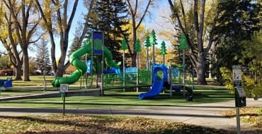
Parks and Recreation Master Plan - Completed [Adopted 2016]
City of Laramie Parks and Recreation Master Plan chapter detailing existing parks, recreation facilities, trails, natural areas, current conditions, and recommended future improvements.
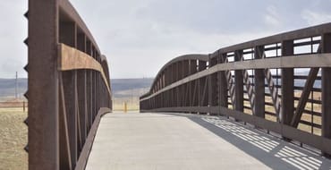
Cirrus Sky Technology Park Master Plan [Published 2015]
Cirrus Sky Technology Park Master Plan guiding future development, infrastructure, open space, and economic growth in Laramie, Wyoming.

Market Research Center Retail Report [Published 2015]
Wyoming Market Research Center report analyzing Laramie’s retail market, consumer spending, demographics, psychographics, competition, and retail opportunities.

Laramie Public Art Plan [Adopted 2015]
Explore the City of Laramie's Public Art Plan, which outlines goals, strategies, and recommendations for incorporating public art into community spaces and enhancing Laramie's cultural identity.
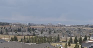
Housing Study and Action Plan 2030 [Published 2015]
Historic Downtown Laramie Design Guidelines providing guidance for building renovations, new construction, façades, signs, storefronts, maintenance, and streetscape improvements that preserve downtown
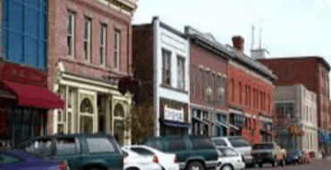
Downtown Laramie Retail Market Analysis and Consumer Intercept Survey [Published 2014]
Downtown Laramie Retail Market Analysis and Consumer Intercept Survey examining local businesses, consumer preferences, retail opportunities, market leakage, and economic conditions in downtown.
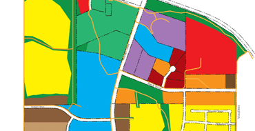
Turner Tract Area Plan [Adopted 2013]
Explore the City of Laramie's 2013 Turner Tract Area Plan, which provides a framework for future land use, development, transportation, and infrastructure improvements in the Turner Tract area.
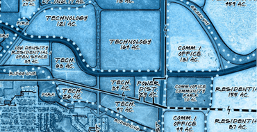
Cirrus Sky Technology Park Development Plan [Published 2012]
Explore the City of Laramie’s Cirrus Sky Technology Park Development Plan, outlining land use, infrastructure, economic development, and future growth for the technology park in north Laramie.
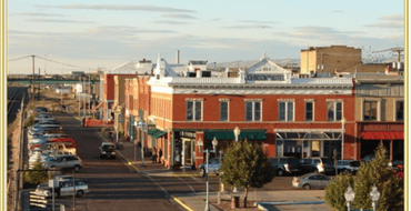
Design Guidelines for Historic Downtown Laramie [Published 2007]
Historic Downtown Laramie Design Guidelines providing guidance for building renovations, new construction, façades, signs, storefronts, maintenance, and streetscape improvements that preserve downtown
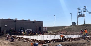
Laramie Wastewater Treatment Facilities and Collection System [Recorded 1997]: 201 Intergovernmental Agreement
View information on the City of Laramie's wastewater treatment facilities, collection system, and intergovernmental agreement.
Stay Informed
Follow our projects to get notified of upcoming engagements and the latest project related news.