
Transportation
Transportation projects and developments intended to improve the quality of life of our residents.
Active Projects
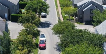
Amelia Drive Traffic and Parking Improvements
Amelia Drive is a narrow roadway that has long experienced conflicts between two-way traffic and on-street parking, and the one-month pilot will evaluate whether one-way circulation improves traffic f

Long-Range Transportation Plan
The Long-Range Transportation Plan (LRTP) for Nantucket is a 20+ year outlook for transportation in the region and is required to remain eligible for federal funding. This updating must be completed by August 2023 and will build on previous planning efforts to set investment priorities for the multi-modal transportation system that is sensitive to the character of the island.

Municipal Parking Lot Improvements
The Town of Nantucket is undertaking a comprehensive survey and assessment of four municipal parking lots to identify and recommend targeted improvements.
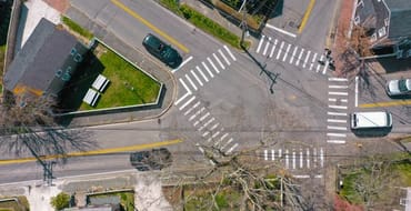
Pleasant Street and Williams Lane Complete Street Improvements
These improvements will eliminate gaps along Pleasant Street and Williams Lane to provide bicyclists and pedestrians better connections between the Nantucket Public Schools, Nantucket Cottage Hospital, and other destinations in the mid-island area.
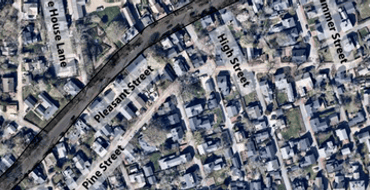
Pleasant Street Sidewalk (5 Corners to Main Street)
Improvements to the Pleasant Street sidewalk, from York Street (5 Corners) to Main Street, are being planned for future implementation.

Title VI Plan
The NP&EDC’s strategy to ensure that no person is excluded from participating in, or denied benefits of, its services on a basis of race, color, and national origin, as protected by Title VI of the Civil Rights Act of 1964, 49 CFR 21.9(b)

Tom Nevers Multi-use Path
This approximately two-mile-long multi-use path will connect the Milestone Bike Path with the Old Navy Base playing fields and the neighborhoods along Tom Nevers Road.

Traffic Safety Action Plan
The Town of Nantucket and the Nantucket Planning and Economic Development Commission (NP&EDC) has been awarded a Safe Streets and Roads for All (SS4A) Grant from the United States Department of Transportation (the “USDOT”) Federal Highway Administration (the “FHWA”) in conjunction with partners Martha’s Vineyard Commission (MVC) and Franklin Regional Council of Governments (FRCOG) to collaborate and develop creative action plans to address shared rural roadway safety challenges.

Transportation Improvement Program
The TIP is a fiscally constrained listing of federal and state funded regional transportation projects for the next 5 years.

Travel Demand Forecast Model
A new, data-informed travel demand forecasting tool will help the Town evaluate how future land use changes and development projects affect transportation, emissions, and mobility across Nantucket.
Unified Planning Work Program (UPWP)
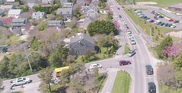
The Unified Planning Work Program (UPWP) describes the scope of work and estimates costs for the transportation planning activities undertaken by the NP&EDC for the upcoming year.
Wauwinet Road Multi-use Path
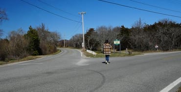
This proposed sidepath will improve safety and convenience for all users of Wauwinet Road by separating non-motorists from vehicular traffic.
Opportunities to Engage
Recently Completed Projects
Surfside Road at Miacomet Road/Surfside Drive – All-Way Stop Piloting Outreach
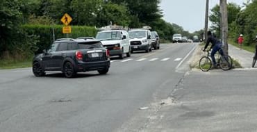
The Town has partnered with MassDOT and Jacobs Engineering to evaluate and pilot conversion of the intersection from a two-way stop control to an all-way stop control.
West York Lane – Neighborhood Traffic Outreach
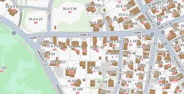
One-way or two-way? Let us know. Share your perspective on a proposed change to West York Lane traffic flow.
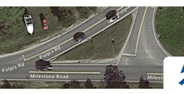
Milestone Road and Polpis Road Intersection Improvements
This MassDOT project aims to improve the intersection at Milestone Road and Polpis Road and extend the ‘Sconset bike path.
Stay Informed
Follow our projects to get notified of upcoming engagements and the latest project related news.